
Population 347 (2006 census) Founded 1908 | Established 1908 Area 10,483 km² | |
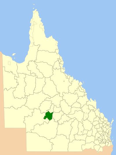 | ||
The Shire of Isisford was a local government area located in central western Queensland, between the towns of Longreach and Blackall. It covered an area of 10,482.6 square kilometres (4,047.4 sq mi), and existed as a local government entity from 1908 until 2008, when it amalgamated with the Shires of Ilfracombe and Longreach to form the Longreach Region.
Contents
The region formerly located within the shire contains many large cattle and sheep stations.
History
The Shire of Isisford was created on 1 January 1908 under the Local Authorities Act 1902, having been separated from the Shire of Barcoo. On 15 March 2008, under the Local Government (Reform Implementation) Act 2007 passed by the Parliament of Queensland on 10 August 2007, the Shire of Isisford merged with the Shires of Ilfracombe and Longreach to form the Longreach Region.
Towns and localities
The Shire of Isisford included the following settlements: