
Established 1880 Elevation 126.3 m (414 ft) Postal code 4481 State electorate(s) Warrego | Postcode(s) 4481 Mean max temp Mean min temp Population 158 (2006 census) | |
 | ||
Weather 30°C, Wind SE at 19 km/h, 21% Humidity Location 1,196 km (743 mi) from Brisbane; 310 km (193 mi) from Longreach | ||
Windorah is one of three towns in the Barcoo and a locality in Central West Queensland, Australia. It is named after the local Aboriginal word for "Big Fish". At the 2006 census, Windorah had a population of 158.
Contents
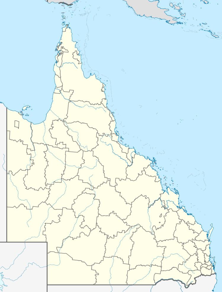
Map of Windorah QLD 4481, Australia
Description
Located 35 kilometres (22 mi) downstream from where the Thomson and Barcoo Rivers join to form the multi-channelled Cooper Creek, Windorah is known as "The Heart of the Channel Country" and offers a welcome and interesting stop off for travellers to Birdsville, Bedourie, Longreach and points West. While the Shire covers an area of 60,901 km², the town has a population of 60 people, with a further 40 living at surrounding stations.
Sheep and cattle grazing are the mainstay of the district; however, recently oil and gas industries have developed in the area. Many locals also work on the Shire Council and the Dingo Barrier Fence.
History
The town was founded on a stock route and proclaimed in 1880. Cobb & Co once ran a stage coach service between Windorah and Adavale.
The town was completely isolated by floodwater in 1949 after surrounding areas were inundated by heavy rainfall. Low cloud and more rain prevented relief food supplies from being delivered by air from a RAAF Dakota.
Education
Windorah State School opened on 30 July, 1888 and celebrated its 125th Anniversary in 2013.
Environment
A landscape of rocky outcrops, multiple sand hills and black soil flood plains make up most of the area surrounding the town. Water in the town follows the outback cycle of boom and bust. During a wet year Cooper Creek may flood more than a half a dozen times, during the dry it becomes a chain of waterholes. Downstream of the town stretches the Cooper Floodplain below Windorah Important Bird Area, identified as such by BirdLife International because of its importance for waterbirds when flooded.
Windorah is diverse in many aspects. The temperature may range from maximums in summer that approach 50 °C to minimums in winter are below 0 °C. The annual rainfall has recorded falls between a low of 86 mm and a high of 988 mm. Other weather extremes include 25 morning frosts in 1977, 10 dust storms in 1987 and four hailstorms in 1985.
Facilities
Windorah has a library, race course, local museum, shire hall, information centre and museum.