
- average 718 cu ft/s (20 m/s) | Length 32 km | |
 | ||
- max 1,243 cu ft/s (35 m/s) Annual mean, 1938 - min 337 cu ft/s (10 m/s) Annual mean, 1965 Mouths | ||
The Shetucket River is a tributary of the Thames River, 20.4 miles (32.8 km) long, in eastern Connecticut in the United States.
Contents
Map of Shetucket River, Connecticut, USA
It is formed at Willimantic by the junction of the Willimantic and Natchaug rivers. It flows southeast and south. Approximately 4 miles (6 km) northeast of Norwich it receives the Quinebaug River and broadens into a wide estuary which stretches southeast for approximately 5 miles (8 km) and joins the Thames estuary on the south side of Norwich.
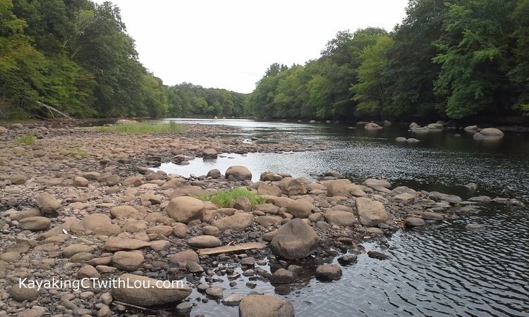
The river flows through an especially unspoiled rural section of southern New England, despite the historical prevalence of industry in the surrounding region. Parts of the rivers have been designated by the federal government as the Quinebaug and Shetucket Rivers Valley National Heritage Corridor. The National Park Service describes the river valley as the "last green valley" in the Boston-to-Washington megalopolis. In nighttime satellite photos, the valley appears distinctively dark amidst the lights of the surrounding urban and suburban regions.
Paddling the RiverEdit
The entire length of the river, as well as the lower part of the Natchaug River flowing into it, is a popular recreational paddling route.
Canoe/Kayak launch sites are located at the following locations:
Short, marked portages are required at four hydroelectric dams: Scotland Dam, Occum Dam, Taftville Dam, and Greenville Dam.