Country United States of America | Length 23 km | |
 | ||
Main source Deep River and Sherman BrookLebanon Width Minimum width:5 feet (1.5 m)Maximum width:765 feet (233 m) Similar Indian Leap, Coginchaug River, Leffingwell Inn, Slater Memorial Museum, Senator Thomas J Dodd Me | ||
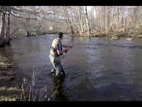
The Yantic River forms at the confluence of the Deep River, Sherman Brook, and Exeter Brook about 4 miles (6.4 km) east of Colchester, Connecticut. It runs for 14.2 miles (22.9 km) and flows into the Shetucket River in Norwich, forming the Thames River. The Yantic River is a popular whitewater paddling destination with a mix of quickwater and Class I-III whitewater. It passes through the towns of Lebanon, Bozrah, and Norwich.
Map of Yantic River, Connecticut, USA
References
Yantic River Wikipedia(Text) CC BY-SA
