
- average 216 cu ft/s (6 m/s) Basin area 582.7 km² | Length 40 km Basin area 582.7 km² | |
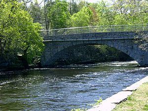 | ||
- max 370 cu ft/s (10 m/s) Annual mean, 1938 - min 97.9 cu ft/s (3 m/s) Annual mean, 1965 Bridges Frog Bridge, Willimantic Footbridge | ||
The Willimantic River is a tributary of the Shetucket River, approximately 25 mi (40 km) long in northeastern Connecticut in the New England region of the United States.
Contents
Map of Willimantic River, Connecticut, USA
It is formed in northern Tolland County, near Stafford Springs by the confluence of Middle River and Furnace Brook. It flows south to the city of Willimantic, where it joins the Natchaug River to form the Shetucket. Along the way, it is joined by Roaring Brook, Bone Mill Brook, Eagleville Brook, Cedar Swamp Brook, Mill Brook in Coventry, Skungamaug River, Hop River, and Ten Mile River. It feeds and drains from Eagleville Pond.
GeographyEdit
Shortly upstream from its confluence with the Natchaug, the Willimantic experiences a drop of ninety feet in one mile. This section was named "Wilimentuck" (land of swiftly moving waters) by the Native Americans who fished there. The river powered textile mills from Stafford Springs to Willimantic, including the American Thread Company mill. None of these mills are operating as of 2007, having all been destroyed or converted to other uses such as apartment space.
A popular long paddling route begins south of Stafford Springs along Route 32 where the river is mostly quickwater all of the way to the flatwater of Eagleville Pond. The remainder is fairly easy going to the take-out at Route 66. Beware of the dam at the Route 275 bridge. Other access points may be at the N. River Road bridge, the Route 74 bridge, the Depot Rd bridge, the Route 195 bridge, the Jones Crossing bridge, the Merrow Road bridge, the U.S. Route 44 bridge, Brigham bridge, near the Route 275 dam, the Depot Rd bridge, the Route 31 bridge, and the Flanders Rd bridge.