
Area 6,397 km² Population 5,251 (2013) Unemployment rate 2.4% (Apr 2015) | Founded 1885 | |
 | ||
Rivers Niobrara River, Snake River, Beaver Creek | ||
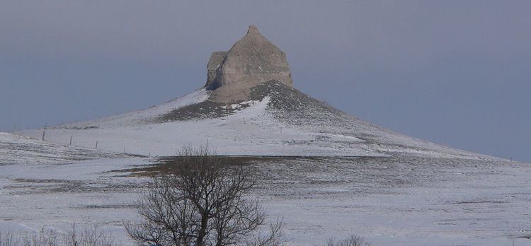
Sheridan County is a county located in the U.S. state of Nebraska. As of the 2010 census, the population was 5,469. Its county seat is Rushville. The county was formed in 1885 and named after General Philip H. Sheridan.
Contents
- Map of Sheridan County NE USA
- Geography
- Major highways
- Adjacent counties
- Demographics
- Cities
- Villages
- Census designated place
- Unincorporated communities
- Ghost town
- Notable Ranches
- References
Map of Sheridan County, NE, USA
In the Nebraska license plate system, Sheridan County is represented by the prefix 61 (it had the sixty-first-largest number of vehicles registered in the state when the license plate system was established in 1922).
Geography
According to the U.S. Census Bureau, the county has a total area of 2,470 square miles (6,400 km2), of which 2,441 square miles (6,320 km2) is land and 29 square miles (75 km2) (1.2%) is water. It is the fourth-largest county in Nebraska by area.
Major highways
Adjacent counties
Demographics
As of the census of 2000, there were 6,198 people, 2,549 households, and 1,728 families residing in the county. The population density was 2 people per square mile (1/km²). There were 3,013 housing units at an average density of 1 per square mile (0/km²). The racial makeup of the county was 88.11% White, 0.08% Black or African American, 9.23% Native American, 0.15% Asian, 0.02% Pacific Islander, 0.34% from other races, and 2.08% from two or more races. 1.47% of the population were Hispanic or Latino of any race. 31.6% were of German, 8.8% English, 7.8% Irish and 7.3% American ancestry according to Census 2000.
There were 2,549 households out of which 30.00% had children under the age of 18 living with them, 56.80% were married couples living together, 8.00% had a female householder with no husband present, and 32.20% were non-families. 29.60% of all households were made up of individuals and 16.30% had someone living alone who was 65 years of age or older. The average household size was 2.38 and the average family size was 2.95.
In the county, the population was spread out with 25.60% under the age of 18, 6.20% from 18 to 24, 22.90% from 25 to 44, 23.60% from 45 to 64, and 21.70% who were 65 years of age or older. The median age was 42 years. For every 100 females there were 96.00 males. For every 100 females age 18 and over, there were 91.50 males.
The median income for a household in the county was $29,484, and the median income for a family was $35,167. Males had a median income of $21,892 versus $18,423 for females. The per capita income for the county was $14,844. About 11.00% of families and 13.20% of the population were below the poverty line, including 20.30% of those under age 18 and 7.50% of those age 65 or over.