
Country United States GNIS feature ID 834979 Local time Sunday 9:10 AM | Time zone [MST] (UTC-6) Elevation 1,183 m Area code 308 | |
 | ||
Weather -13°C, Wind W at 14 km/h, 64% Humidity | ||
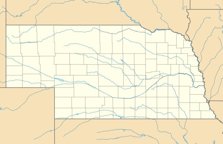
Antioch is a ghost town in Sheridan County, Nebraska, United States. Located approximately 15 miles east of Alliance on Nebraska Highway 2, the town was once nicknamed "the potash capital of Nebraska." The town took its name from Antioch, Ohio.
Map of Antioch, NE 69340, USA
The location of the town near several major alkali lakes among the Sandhills of western Nebraska made Antioch the logical home of five potash reduction factories: the American, Nebraska, Alliance, National, and Western potash companies. All these companies were major suppliers of potash during World War I.
As a late boomtown, Antioch sprang out of the war-driven needs. According to one historian, the year before the United States became involved in World War I, the town only had one schoolhouse, a church, and a store. With the advent of a method to distill potash from western Nebraska's alkali lakes by University of Nebraska scientists, by 1917 Antioch was "a small city." Antioch quickly had five large-scale potash plants, and within months the town had more than 5,000 residents. Following the war the population left again.
When Germany resumed trade with the United States in 1921, the potash trade was decimated. The factories immediately closed. The machinery was sold for scrap; the factories were demolished for the salvage value of the building materials; and the company housing was torn down or moved. Only the foundations of the factories and of some of the larger houses remained. Today, Antioch has fewer than 25 residents.
In 1979, the remains of Antioch's potash plants were added to the National Register of Historic Places.