
Founded 1885 | Area 3,629 km² Population 9,088 (2013) University Chadron State College | |
 | ||
Points of interest Fort Robinson, Museum of the Fur Trade, Chadron State Park, Fort Robinson Lodge, Pine Ridge | ||
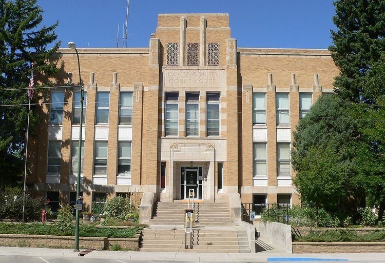
Dawes County is a county in the U.S. state of Nebraska. As of the 2010 census, the population was 9,182. Its county seat is Chadron. The county was formed in 1885 and named after Governor James W. Dawes.
Contents
- Map of Dawes County NE USA
- History
- Geography
- Major highways
- Adjacent counties
- National protected areas
- Demographics
- Cities
- Village
- Unincorporated communities
- Ghost town
- References
Map of Dawes County, NE, USA
In the Nebraska license plate system, Dawes County is represented by the prefix 69 (it had the sixty-ninth-largest number of vehicles registered in the county when the license plate system was established in 1922).
History
Dawes County was a part of the unorganized area of northwestern Nebraska until February 19, 1877 when it became a part of Sioux County from which it was separated February 19, 1885 and was given its present name.
Geography
According to the U.S. Census Bureau, the county has an area of 1,401 square miles (3,630 km2), of which 1,396 square miles (3,620 km2) is land and 4.6 square miles (12 km2) (0.3%) is water.
Major highways
Adjacent counties
National protected areas
Demographics
As of the census of 2000, there were 9,060 people, 3,512 households, and 2,086 families residing in the county. The population density was 6 people per square mile (3/km²). There were 4,004 housing units at an average density of 3 per square mile (1/km²). The racial makeup of the county was 93.34% White, 0.81% Black or African American, 2.88% Native American, 0.31% Asian, 0.06% Pacific Islander, 1.03% from other races, and 1.58% from two or more races. 2.43% of the population were Hispanic or Latino of any race. 38.0% were of German, 9.9% English, 9.2% Irish and 7.4% American ancestry according to Census 2000.
There were 3,512 households out of which 26.20% had children under the age of 18 living with them, 48.50% were married couples living together, 7.90% had a female householder with no husband present, and 40.60% were non-families. 31.00% of all households were made up of individuals and 12.90% had someone living alone who was 65 years of age or older. The average household size was 2.28 and the average family size was 2.87.
In the county, the population was spread out with 21.20% under the age of 18, 23.40% from 18 to 24, 20.40% from 25 to 44, 20.30% from 45 to 64, and 14.80% who were 65 years of age or older. The median age was 31 years. For every 100 females there were 95.60 males. For every 100 females age 18 and over, there were 91.10 males.
The median income for a household in the county was $29,476, and the median income for a family was $41,092. Males had a median income of $29,162 versus $17,404 for females. The per capita income for the county was $16,353. About 9.80% of families and 18.90% of the population were below the poverty line, including 14.40% of those under age 18 and 9.80% of those age 65 or over.