
Area 15,563 km² Population 5,788 (2013) | Website www.co.cherry.ne.us Founded 1883 | |
 | ||
Rivers North Loup River, Middle Loup River, Niobrara River Points of interest Niobrara National Scenic Ri, Fort Niobrara National, Smith Falls, Valentine City Park, Brewer's Canoers & Bowling | ||
Cherry County is a county in the U.S. state of Nebraska. As of the 2010 census, the population was 5,713. Its county seat is Valentine. The county was named for Lt. Samuel A. Cherry, an Army officer who was stationed at Fort Niobrara and who had been killed in South Dakota in 1881. Cherry County is in the Nebraska Sandhills.
Contents
- Map of Cherry County NE USA
- Geography
- Major highways
- Adjacent counties
- Demographics
- City
- Villages
- Unincorporated communities
- Notable ranches
- Time zones
- References
Map of Cherry County, NE, USA
In the Nebraska license plate system, Cherry County is represented by the prefix 66 (it had the 66th-largest number of vehicles registered in the state when the license plate system was established in 1922).
Geography
According to the U.S. Census Bureau, the county has an area of 6,009 square miles (15,560 km2), of which 5,960 square miles (15,400 km2) is land and 49 square miles (130 km2) (0.8%) is water. It is by far Nebraska's largest county in land area and larger than the state of Connecticut, or the states of Delaware and Rhode Island combined. The county is within Nebraska's Sandhills region; the dunes that give the region its name are a result of the most recent glacial period, known as the Pinedale glaciation. During the Holocene glacial retreat the sand dunes, which had been deposited in their current location by the vast continental glaciers, were exposed and grasses eventually took over.
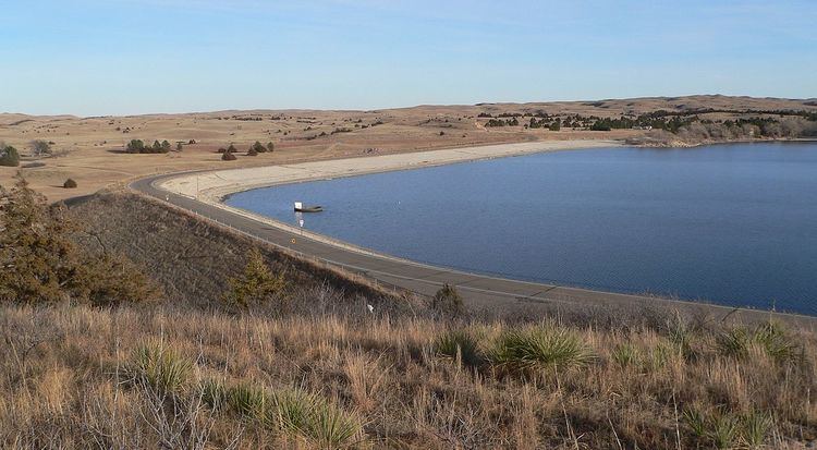
Cherry County is also the location of the Valentine National Wildlife Refuge, the Fort Niobrara National Wildlife Refuge, the Samuel R. McKelvie National Forest, and the western portion of the Niobrara National Scenic River.
Major highways
Adjacent counties
Owing to its size as Nebraska's largest county by area, Cherry County borders 11 counties, more than any other county in Nebraska. Seven of them are in Nebraska and four are in South Dakota. The adjacent counties are:
Demographics
As of the census of 2000, there were 6,148 people, 2,508 households, and 1,710 families residing in the county. The population density was 1.02 people per square mile (0.39/km²). There were 3,220 housing units at an average density of 0 per square mile (0/km²). The racial makeup of the county was 94.19% White, 0.07% Black or African American, 3.25% Native American, 0.42% Asian, 0.02% Pacific Islander, 0.33% from other races, and 1.72% from two or more races. 0.93% of the population were Hispanic or Latino of any race. 38.5% were of German, 12.6% English, 11.1% Irish and 7.3% American ancestry according to Census 2000.
There were 2,508 households out of which 31.70% had children under the age of 18 living with them, 57.90% were married couples living together, 6.90% had a female householder with no husband present, and 31.80% were non-families. 28.90% of all households were made up of individuals and 12.70% had someone living alone who was 65 years of age or older. The average household size was 2.42 and the average family size was 2.98.
In the county, the population was spread out with 27.00% under the age of 18, 6.20% from 18 to 24, 25.50% from 25 to 44, 24.00% from 45 to 64, and 17.30% who were 65 years of age or older. The median age was 39 years. For every 100 females there were 98.80 males. For every 100 females age 18 and over, there were 93.60 males.
The median income for a household in the county was $29,268, and the median income for a family was $36,500. Males had a median income of $23,705 versus $17,277 for females. The per capita income for the county was $15,943. About 9.60% of families and 12.30% of the population were below the poverty line, including 13.40% of those under age 18 and 14.20% of those age 65 or over.
City
Villages
Unincorporated communities
Notable ranches
Time zones
Cherry County is in both the Central and Mountain time zones. The eastern third of the county, including county seat Valentine, is in the Central Time Zone, while the western two thirds, including Merriman, are in the Mountain Time Zone.
Cherry County is one of the few US counties in two time zones. Gulf County, Florida, uses Eastern Time and Central Time; Idaho County, Idaho, and Malheur County, Oregon, use Mountain and Pacific time.