
 | ||
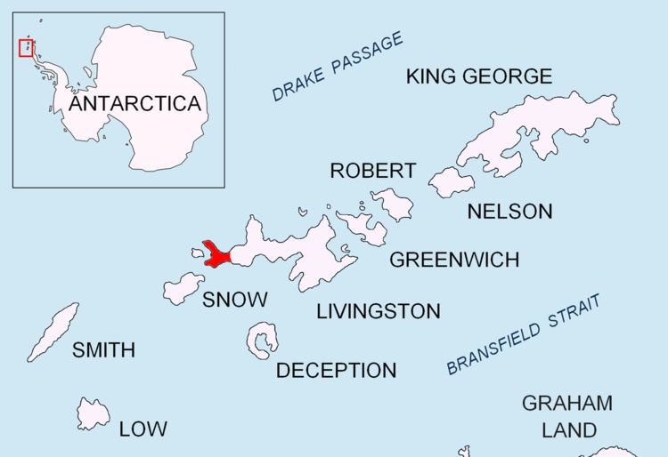
Sealer Hill is a hill rising to 91 m in the southwest part of Byers Peninsula, Livingston Island in the South Shetland Islands, Antarctica. It surmounts Nikopol Point and Sevar Point to the east-southeast and west-southwest, respectively. The area was inhabited by 19th century sealers.
Contents
The feature was so named following geological work by BAS in 1975-76, from the presence of at least three crude stone huts built by sealers below the hill.
Location
The hill is located at 62°40′09.7″S 61°06′52.1″W, which is 1.28 km west-northwest of Nikopol Point, 1.83 km east-northeast of Sevar Point, 3.49 km east by north of Devils Point, 2.8 km southeast of Point Smellie, 4.07 km southwest of Basalt Lake and 3.96 km south-southwest of Chester Cone (British mapping in 1968, detailed Spanish mapping in 1992, and Bulgarian mapping in 2005 and 2009).