
 | ||
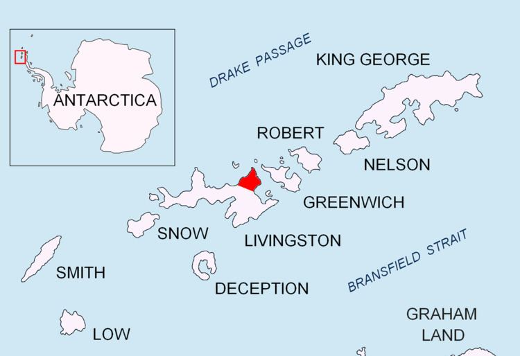
Sayer Nunatak is a rocky peak rising to 210 m south of Williams Point on Varna Peninsula, at the north edge of the ice cap of Livingston Island in the South Shetland Islands, Antarctica. The nunatak is forming the north extremity of Vidin Heights and surmounting Dragon Cove to the northeast, Griffin Cove to the north-northwest and Charybdis Cove to the southwest.
Contents
The feature is named after the American Captain Sayer, Master of the brig General Scott, who carried out sealing operations in this area in 1821-22.
Location
The peak is located at 62°28′21.5″S 60°08′04.8″W which is 2.3 km south of Williams Point, 3.8 km west-northwest of Pomorie Point, 5.92 km north-northwest of Rakovski Nunatak, 2.2 km north of Zhelyava Hill, 7.18 km north by east of Miziya Peak and 4.9 km northeast of Kotis Point (British mapping in 1968, Spanish in 1991, and Bulgarian in 2005 and 2009).