
Time zone BST (UTC+6) | Postal code 9400 | |
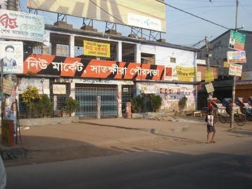 | ||
Satkhira bangladesh ep 01
Satkhira (Bengali: সাতক্ষীরা জেলা, Satkhira Jela also SatkhiraZila) is a district in southwestern Bangladesh and is part of Khulna Division. It lies along the border with West Bengal, India. It is on the bank of the Arpangachhia River.
Contents
- Satkhira bangladesh ep 01
- Map of Satkhira District Bangladesh
- Geography and climate
- Climate
- Economy
- Points of interest
- Administration
- Land ports
- Transport
- Education
- References
Map of Satkhira District, Bangladesh
Geography and climate
Satkhira District has an area of 3817.29 km². It is bordered to the north by Jessore District, on the south by the Bay of Bengal, to the east by Khulna District, and to the west by 24 Pargana District of West Bengal, India.
The annual average maximum temperature reaches 35.5 °C (95.9 °F); minimum temperature is 12.5 °C (54.5 °F). The annual rainfall is 1710 mm (67 in).
The main rivers are the Kopotakhi river across Dorgapur union of Assasuni Upazila, Morichap River, Kholpetua River, Betna River, Raimangal River, Hariabhanga river, Ichamati River, Betrabati River and Kalindi-Jamuna River.
Climate
Tropical savanna climates have monthly mean temperature above 18 °C (64 °F) in every month of the year and typically a pronounced dry season, with the driest month having precipitation less than 60mm (2.36 in) of precipitation. The Köppen Climate Classification subtype for this climate is "Aw" (tropical savanna climate).
Economy
Most of the peoples of southern part of Satkhira depend on pisciculture, locally called gher. Main fruits are aam (mango), jaam (blackberry), kathal (jackfruit), kola (banana), pepe (papaya), lichoo (litchi), naarikel (coconut) and peyara (guava). Farms are 86 dairies, 322 poultry farms, 3046 fisheries, 3650 shrimp farms, 66 hatcheries and one cattle breeding centre. The main exports are shrimp, paddy, jute, wheat, betel leaf, leather and jute goods.
Points of interest
Sundarbans is the largest single block of tidal halophytic mangrove forest in the world, is a World Heritage Site, and covers an area of 5747 km².
The region is home to many ancient buildings and temples such as Sultanpur Shahi Mosque (500 years old). At present the most popular mangrove forest at Kaligonj Upazila is Basjharia Joarar Ban. It is popularly known as the forest of BADHA. The Joarar Ban is the cause of friction between Bangladesh and Indian border. It is mostly popular for its natural beauty.
Administration
The district consists of two municipalities, seven Upazilas, 79 union porishods, 8 thana (police station) and 1436 villages.
The upazilas are:
- Satkhira Sadar Upazila
- Assasuni Upazila
- Debhata Upazila
- Tala Upazila
- Kalaroa Upazila
- Kaliganj Upazila
- Shyamnagar Upazila
The two municipalities are Satkhira and Kalaroa.
Land ports
India-Bangladesh (Bhomra land port): 200 yard distant BGP camp from main port. The Bhomra land port is second largest land port in Bangladesh. The Bhomra land customs station was inaugurated in 1996.
Transport
Roads and highways are Satkhira-Khulna, Satkhira-Jessore, Satkhira-Assasuni-Ghola, Satkhira-Kaligonj-Shyamnagar. Satkhira-Kaligonj-Shyamnagar is very bad due to conductor's corruption.
Education
Recently established one medical college, 79 colleges, one primary teachers training institute, 421 high schools, 41 junior high schools, 259 madrassas, 822 government primary schools.