
Area 333.8 km² | Time zone BST (UTC+6) | |
 | ||
Website Official Map of Kaliganj | ||
°
Map of Kaliganj Upazila, Bangladesh
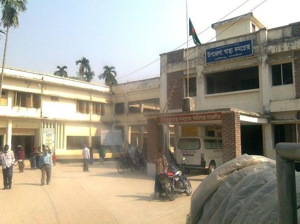
Kaliganj (Bengali: কালীগঞ্জ (সাতক্ষীরা)) is an Upazila of Satkhira District in the Division of Khulna, Bangladesh.
Contents
Geography
Kaliganj is located at 22.4500°N 89.0417°E / 22.4500; 89.0417. It has 41162 households and total area 333.79 km².
Kaliganj Upazila is bounded by Debhata Upazila and Assasuni Upazila on the north, Assasuni Upazila on the east, Shyamnagar Upazila on the south and Hingalganj (community development block) in North 24 Parganas district in West Bengal, India on the west.
Demographics
According to the 1991 Bangladesh census, Kaliganj had a population of 225,596. Males constituted 50.7% of the population, and females 49.3%. The population aged 18 or over was 115,458. Kaliganj had an average literacy rate of 32.3% (7+ years), compared to the national average of 32.4%.
Administration
Kaliganj has 12 Unions/Wards, 244 Mauzas/Mahallas, and 256 villages.
Chairman : Md Enamul Haque Choto. from Awami League.
Women Vice Chairman :
Vice Chairman : Sayeed Mehedi (from Awami League) [1]
Upazila Nirbahi Officer (UNO) : Mohammad Toufiq-e-Elahi Chowdhury [2] DR. A.K.M. ASADUZZAMAN: Pediatrician.
Transport
The Kakshiyali River (actually a canal) bisects the upazila roughly east to west, connecting the Galghasia and Kalindi Rivers.