
Country Pakistan | Area 5,854 km2 | |
 | ||
Map of Sargodha
Sargodha (Punjabi and Urdu: سرگودھا) is the 11th largest city in Pakistan with a population of 1.5 million. It is also an administrative centre of Sargodha Division located in the Punjab province, Pakistan and one of the fastest growing cities in Pakistan.
Contents
- Map of Sargodha
- Top 10 cities of punjab pakistan lahore sargodha multan
- Lawyers storm university of sargodha over chief minister punjab broken promises
- History
- Location
- Topography
- Climate
- Demographics
- Administration
- Road
- Rail
- Sports
- Air Base
- Educational institutions
- Notable people
- References
Top 10 cities of punjab pakistan lahore sargodha multan
Lawyers storm university of sargodha over chief minister punjab broken promises
History
The origins of this city are quite old but the proper town was established by the British in 1903. Although it was a small town in the beginning, the British Royal Air Force built an airport here due to its strategic location.
Location
Sargodha is located 172 kilometres northwest of Lahore, in Sargodha District. It lies about 30 miles from the M-2 motorway, which connects Lahore and Islamabad. It is connected to the M-2 by several interchanges at different locations. Sargodha is roughly 94 km from Faisalabad, due southeast. Directly east connected by the M-2 motorway are Lahore and the route to Rawalpindi and Islamabad. Due east is the city of Jhang; toward the west are the city of Mianwali and the Chashma Barrage. Dera Ismail Khan is located 232 km southwest from the city.
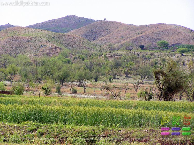
Topography
Sargodha mainly comprises flat, fertile plains, although here are a few small hills on the Sargodha-Faisalabad Road. The River Jhelum flows on the western and northern sides, and the River Chenab lies on the eastern side of the city.
Climate
The city has a climate of extreme heat in the summers and moderate cold in the winters. The maximum temperature reaches 50 °C (122 °F) in the summer while the minimum temperature recorded is as low as freezing point in the winter.
Demographics
Total population of the city was 458,440 according to the 1998 census. The majority of the people in the city speak Punjabi.
Administration
Sargodha is the capital of Sargodha Tehsil. As of October 2012, the division system in Punjab Province has been restored and Sargodha became the divisional headquarters of districts Sargodha, Khushab, Mianwali and Bhakkar. The city of Sargodha is administratively subdivided into 22 union councils.
Road
Sargodha lies about 30 miles (48 km) from the M-2 motorway which connects Lahore and Islamabad. It is also connected to Faisalabad by a highway. Daewoo Bus Service drives regular routes from Sargodha to the rest of the country.
Rail
Sargodha is also connected by the rest of the country through the rail. Sargodha Junction railway station is located on Shorkot-Lala Musa branch railway line.
Sports
Sargodha is home to the Sargodha Cricket Stadium. Sargodha is also ranked as top orange exporting city in Pakistan, with vast of its countryside consist of fruit farms and wheat fields.
Air Base
Pakistan's largest airbase, PAF Base Mushaf (formerly PAF Base Sargodha), is situated in Sargodha and hosts the headquarters of the Pakistan Air Force's Central Air Command. The airbase is also home to the Combat Commanders School (CCS), formerly the Fighter Leader's School.