
Calling code 47 Local time Saturday 5:30 PM | Time zone PST (UTC+5) Postal code 35200 Area code 47 | |
 | ||
Weather 21°C, Wind N at 11 km/h, 34% Humidity Neighborhoods Gullshan Colony, Khokhar Colony, F Block | ||
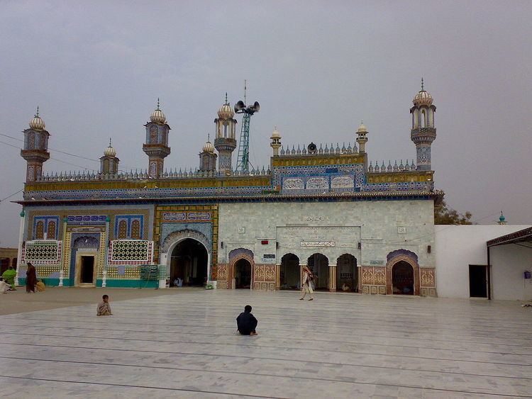
Heer s grave entrance in jhang pakistan part i 3gp
Jhang (Urdu: جھنگ, Punjabi: جھنگ) is the capital city of Jhang District, in the province of Punjab, Pakistan. It is situated on the east bank of the Chenab river. According to the 1998 census of Pakistan, it had a population of 293,366.
Contents
- Heer s grave entrance in jhang pakistan part i 3gp
- Map of Jhang Pakistan
- Jhang city of pakistan
- History
- Geography
- Demographics
- Administration
- Education
- Notable people
- References
Map of Jhang, Pakistan
Jhang city of pakistan
History
Under the British Raj, the towns of Jhang and Maghiana, lying two miles (3.2 km) apart, became a joint municipality, then known as Jhang-Maghiana.
Maghiana lies on the edge of the highlands, overlooking the alluvial valley of the Chenab, while the older town of Jhang occupies the lowlands at its foot.
Geography
Jhang is situated at the junction of two rivers Jhelum and Chenab, where a headworks named Tareemon had been ercted. It is situated on the left banks of both rivers. Jhang is the capital city of Jhang District located at the coordinates 31.30677 N, 72.32814 E.
Demographics
According to the 1981 census of Pakistan, the population of Jhang was 1,970,944 with the 434,495 housing units in Jhang. In the 1998 census, population of Jhang was 2,834,545, with an annual growth rate of 2.16%. The male population was 1,474,099 (52.00%) and the female population was 1,360,446 (48.00%).
Administration
Jhang Saddar is the administrative center of Jhang tehsil (a subdivision of the district), the tehsil itself is divided into 55 Union councils.
Education
There are two University campuses catering the needs of city
Jhang contains many schools and colleges