
Country Guatemala Climate Cwb | Elevation 6,010 ft (1,832 m) Area 37 km² | |
 | ||
Department | ||
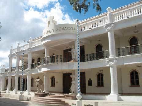
Santo domingo xenacoj
Santo Domingo Xenacoj is a municipality in the Guatemalan department of Sacatepéquez.
Contents
- Santo domingo xenacoj
- Map of Santo Domingo Xenacoj Guatemala
- Santo domingo xenacoj sacatepequez guatemalan 1ra parte
- Name origin
- History
- Climate
- References
Map of Santo Domingo Xenacoj, Guatemala
Santo domingo xenacoj sacatepequez guatemalan 1ra parte
Name origin
The native term Xenacoj has been evolving over the centuries: in 1625, Irish friar Thomas Gage, call it Sinacao; later, friar Francisco Ximenes, O.P. in 1717, calls it Xencoc. In the San Pedro documents is shown as Senacoc and in 1806 was written as Xinacó, in 1880 as Xinacó and, finally, in the early 20th century is written as Xenacoj. The origin of the name comes from the word "Xe" which means under or beneath and Nacoj, which is the name of a hill; therefore, the name Xenacoj means "under the Nacoj hill". Another version claims that instead of Hill, Na means mouth and Coj means lion.
History
Santo Domingo Xenacoj is located in a valley that the Spanish conquistadores called "de Sacatepéquez" (English: Valle of Sacatepéquez) in the 1520s. That valley was bordered by the valley of Xilotepeque on the West, those of Mixco and las Vacas on the North, and by the Chiquimula province and the South and East. The town was described as having "warm climate" by Irish friar Thomas Gage in his 1548 book about his travels through America in the 1620s and 1630s.
Historian Domingo Juarros wrote that in 1766 the Chimaltenango and Sacatepéquez municipalities tried to join, but it did not work out and they remained split until after independence from Spain in 1821.
Climate
Santo Domingo Xenacoj has a subtropical highland climate (Köppen: Cwb).