
Time zone BRT/BRST (UTC-3/-2) | Elevation 754 m (2,474 ft) Area 1,109 km² | |
 | ||
Microregion Pires do Rio Microregion | ||
Santa Cruz de Goiás is a municipality in southeast Goiás state, Brazil.
Contents
- Map of Santa Cruz de GoiC3A1s State of GoiC3A1s Brazil
- Geography
- Political Information
- Demographics
- The economy
- Education 2006
- Health 2007
- History
- References
Map of Santa Cruz de Goi%C3%A1s - State of Goi%C3%A1s, Brazil
Geography
Santa Cruz is located in the southeastern part of the state, 33 km. west of regional center, Pires do Rio. The Rio dos Bois, a tributary of the Corumbá River flows from north to south through the municipality. It has boundaries with Pires do Rio, Palmelo, Cristianópolis, Caldas Novas and Piracanjuba. It is 121 kilometers from the state capital, Goiânia and is connected by BR-352 / Bela Vista de Goiás / Cristianópolis / GO-020. See Distancias Rodoviarias Sepin for all the distances.
The municipality is bathed by the Rio dos Bois, Rio do Peixe, córregos Manoel Duarte, Muquém, Buriti, Pedra de Amolar, Brumadinho, Caiapó, Pirapitinga, Fundo, Mato Virgem, Água Suja, São Benedito, Córrego da Chuva, Sapé, Dantas, and by the Ribeirão Brumado. In topography there is the Serra do Rio do Peixe, the hills of Clemente, Queiroz, Cuscuzeiro, Dois Irmãos, Pertapé, Serra dos Macacos, Cabeça de Mel and Capão Bonito. The climate is tropical humid.
Political Information
Demographics
Population distribution is characterized by the fact that the rural population outnumbered the urban by almost two to one.
The economy
The economy is based on agriculture, cattle raising, services, public administration, and small transformation industries.
Agricultural data 2006
Education (2006)
Health (2007)
Human Development Index
History
Unlike many of the municipalities in Goiás, Santa Cruz has its origins in the 18th century, when mule drivers in 1721 on their way to the mines of Cuiabá discovered gold in the region. A cross was raised and the arraial (village) of Santa Cruz was founded in 1729. Later when the territory was divided in two Santa Cruz was the center of a julgado, which was almost the size of Portugal. In 1833 it was raised to the status of a municipality. The first railroad arrived 28 kilometers away in 1914 and the station was called Pires do Rio, which later became the most important city of the region.
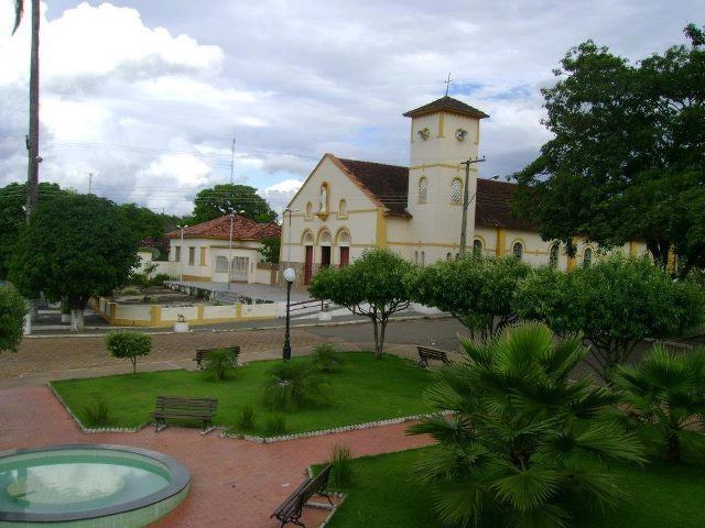
With attractive landscapes around the city, Santa Cruz has rivers and waterfalls that promise future touristic development.