
Time zone BRT/BRST (UTC-3/-2) Area 1,076 km² | Elevation 758 m (2,487 ft) Postal code 75200-000 | |
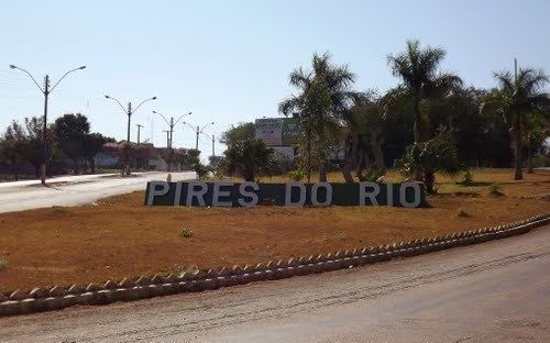 | ||
Pires do Rio is a municipality in Goiás state, Brazil. It is a prosperous town and a major producer of poultry.
Contents
- Map of Pires do Rio State of GoiC3A1s Brazil
- 2 open pires do rio de jiu jitsu 2012 absoluto marrom preta conrado 1 luta
- Location
- History
- Political information
- Demographics
- The economy
- Agricultural data 2006
- Education 2006
- Health 2009
- Tourism
- References
Map of Pires do Rio, State of Goi%C3%A1s, Brazil
2 open pires do rio de jiu jitsu 2012 absoluto marrom preta conrado 1 luta
Location
It is located in the Pires do Rio Microregion. Citybrazil. It is located 144 kilometers from the state capital and is served by highways GO-020, 330 and 414, as well as by several municipal roads. Connections from Goiânia are made by BR-352 / Bela Vista de Goiás / Cristianópolis / BR-352 / G-020 / Santa Cruz de Goiás / Palmelo. Distancias Rodoviarias Sepin
Neighboring municipalities are: Caldas Novas, Cristianópolis, Ipameri, Orizona, Palmelo, Santa Cruz de Goiás, Urutaí and Vianópolis.
Districts, Villages, and Hamlets
History
The city owes its beginnings to the coming of the railroad to Goiás. The railroad company proposed the construction of a railroad station in the region if the lands were made available to start a community. Coronel Lino Teixeira Sampaio, one of the founders of the town, the other one being Balduino Ernesto de Almeida,donated lands from his ranch to build the first houses. An area was reserved for the town and a plan was drawn up. This was never carried out since the residents built their houses outside the area. In 1922 a metal bridge was built over the Rio Corumbá and the settlement began to grow attracting residents from nearby areas. The name, Pires do Rio, was given to the train station and then to the town, in honor of the Minister of Transportation and Public Works of Brazil José Pires do Rio. Source: Sepin.
Political information
Demographics
The economy
The economy is based on agriculture, cattle raising, services, public administration, and small transformation industries. The soil also has deposits of clay for the manufacture of roof tiles and bricks.
Motor vehicles
Agricultural data 2006
Education (2006)
Health (2009)
Tourism
The main attraction of the town is the natural beauty of the Cachoeira (Waterfall) do Maratá. It has 70 meters of free fall and is considered a good place for skydiving, camping, and swimming. Another tourist point is the old Usina do Salto, an abandoned hydroelectric plant built in 1930. It attracts tourists for camping, kayaking, and innertube floating.
In the town there is a railroad museum, which has several objects from the days when Pires do Rio was on the railroad line.
Municipal Human Development Index
For the complete list see Frigoletto.com