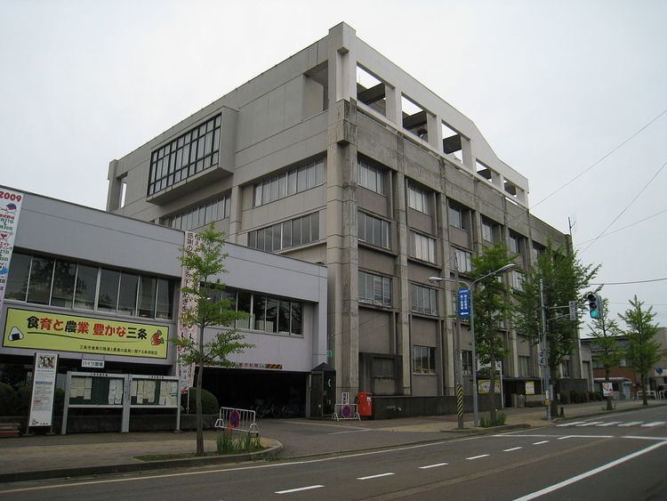
Area 432 km² Local time Wednesday 2:29 AM | Phone number 0256-34-5511 Population 102,292 (2010) | |
 | ||
Address 2-3-1 Asahi-chō, Sanjō-shi, Niigata-ken 955-8686 Website www.city.sanjo.niigata.jp Weather 4°C, Wind NW at 26 km/h, 70% Humidity Points of interest Honjō‑ji Temple, Echigonagano Hot Spring, Otani Dam, Shirasagi Forest Park, Honai Park | ||
Sanjō (三条市, Sanjō-shi) is a city located in central Niigata Prefecture, in the Hokuriku region of Japan. As of 1 June 2016, the city had an estimated population of 98,492 and a population density of 228 persons per km². Its total area was 431.97 square kilometres (166.78 sq mi).
Contents
- Map of Sanjo Niigata Prefecture Japan
- Geography
- Surrounding municipalities
- History
- Economy
- Education
- Politics
- Railway
- Highway
- Sister cities
- Notable people from Sanj
- References
Map of Sanjo, Niigata Prefecture, Japan
Geography
Sanjō is located in an inland region of north-central Niigata Prefecture. It is about 2 hours from Tokyo via the Jōetsu Shinkansen or 4 hours on the Kan-Etsu Expressway and Hokuriku Expressway. The Shinano River flows through the west of it from south to north and the Igarashi River flows through the centre of the urbanised area.
Surrounding municipalities
History
The area of present-day Sanjō was part of ancient Echigo Province. The modern town of Sanjō was created with the establishment of the municipalities system on April 1, 1889. It was raised to city status on January 1, 1934. Heavy rain causes extensive flooding in 1961 and in 2004. On May 1, 2005 the town of Sakae, and the village of Shitada (both from Minamikanbara District) were merged into Sanjō.
Economy
Education
Sanjō has 25 public elementary schools and nine public middle schools. There are four public high schools, and also one special education school.
