
Length 443 km Source elevation 950 m | Basin area 16,861 km² Source Uschok-Pass | |
 | ||
- average 124 m/s (4,379 cu ft/s) | ||
The San (Polish: San; Ukrainian: Сян Sian; German: Saan) is a river in southeastern Poland and western Ukraine, a tributary of the Vistula River, with a length of 443 km (it is the 6th-longest Polish river) and a basin area of 16,861 km2 (14,390 km2 of it in Poland).
Contents
Map of San River
Etymology
San, in proto-Indoeuropean languages, means "speed" or "rapid stream." In Celtic languages, San means "river."
Course
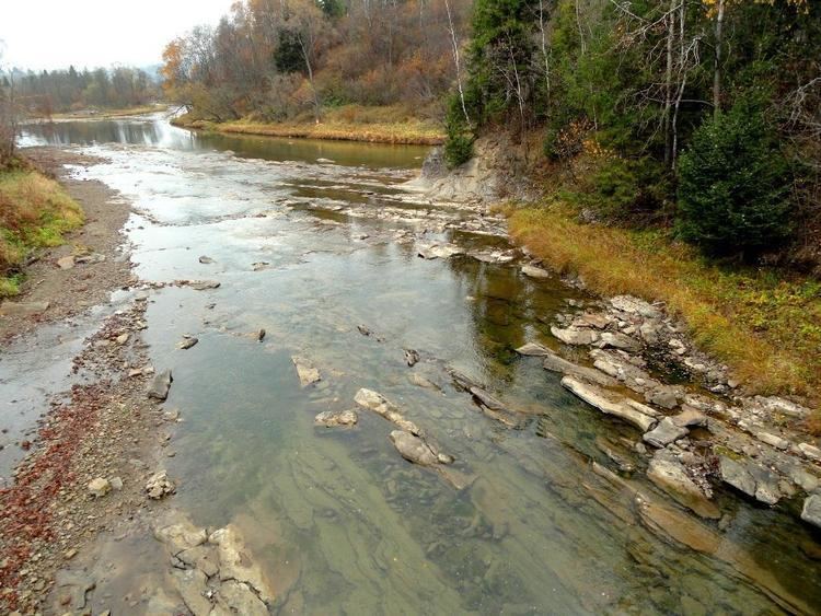
The San arises in the Carpathian Mountains near the village of Sianky, at an elevation of 900 metres, exactly on the Polish-Ukrainian border (49°00′10″N 22°52′30″E) and on the continental watershed, and forms the border between Poland and Ukraine for approximately its first 50 km. Poland's largest artificial lake, Lake Solina, was created by a dam on the San River near Lesko.
History of the region
Historical records first mention the river in 1097 as Sanъ, reku Sanъ, k Sanovi; then as nad Sanomъ (1152) and Sanu (1287). On the old maps of the Ruthenian Voivodeship, Poland 1339–1772: "San" (1339), San (1372), "Szan" (1406), "Sanok" (1438), "Saan" (1439), "Sayn" (1445), "San" (1467), "Szan" (1517), "Schan" (1526).
Humans had first settled the southeastern region of present-day Poland (the Subcarpathian Voivodeship or Podkarpacie) in prehistoric times. In the pre-Roman era various tribes, including the Celts, Goths and Vandals (Przeworsk culture and Puchov culture) overran the area. After the fall of the Roman Empire, Hungarians and Slavs invaded the area.
The San valley must have become an important trade-route and axis of human settlement as early as the 9th or 10th century. The region subsequently became part of the Great Moravian state. Upon the invasion of the Hungarian tribes into the heart of the Great Moravian Empire around 899, the Lendians of the area declared their allegiance to the Hungarian Empire. The region then became a site of contention between Poland, Kievan Rus and Hungary starting in around the 9th century. This area was mentioned for the first time in 981 (by Nestor), when Volodymyr the Great of Kievan Rus took the area over on his way into Poland. In 1018 it returned to Poland, in 1031 reverted to Rus, and in 1340 was recovered by Casimir III of Poland.
During the years 966–1018, 1340–1772 (the Ruthenian Voivodeship) and 1918–1939, the region was part of Poland. Between 1772 and 1918 it belonged to the Austrian empire, which became the Austro-Hungarian empire when the double monarchy was introduced. This region, including the area west and east of the Subcarpathian Voivodship, was controlled by Austria for almost 120 years. During that time it was known as Galicia.
The San River, which saw many battles in its history, was a battle site during the start of World War II in Europe. At the outset of the German invasion of Poland, Polish forces attempted to defend a line along the San from September 6, 1939, until German forces broke out of their bridgeheads on September 12, 1939.