
Elevation 928 ft (283 m) | Country United States of America | |
 | ||
Similar Silurian Hills, Avawatz Mountains, Marble Mountains, Kingston Range, Kelso Mountains | ||
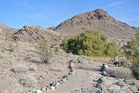
The Salt Spring Hills are a low mountain range in the Mojave Desert, in northern San Bernardino County, California. They are just outside the southeastern corner of Death Valley National Park, southeast of the Saddle Peak Hills. The road south from Shoshone to Baker passes through the hills.
Contents
Map of Salt Spring Hills, California, USA
HistoryEdit
From 1831 to 1848, the Old Spanish Trail passed through the hills near Amargosa Spring.
In 1849, when Jefferson Hunt led a Mormon party of several wagons down the Old Spanish Trail to Los Angeles, they camped at Salt Spring on Salt Creek. Some of the party discovered gold in the creek and traced it to a quartz vein in the nearby hills. The Salt Spring Hills were named for Salt Spring, on the Mormon Road that passed just west of the hills, where the gold was first found. This discovery which became known once the party reached the Rancho Santa Ana del Chino, set off the first gold rush in the Mojave Desert. Several mining companies attempted to mine the hills in the early 1850s.