
Elevation 1,873 m | Country United States of America | |
 | ||
Topo map USGS Sheep Creek Spring Similar Silurian Hills, Soda Mountains, Salt Spring Hills, Kingston Range, Owlshead Mountains | ||
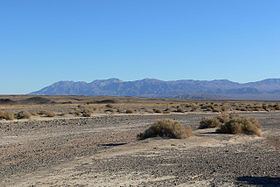
The Avawatz Mountains are located in San Bernardino County, California, in the Mojave Desert.
Contents
Map of Avawatz Mountains, California, USA
NameEdit
The name "Avawatz" is derived from the Mohave Indian term "Avi-Ahwat", or "red rock". An alternative theory holds that the name comes from the Southern Paiute word iva-wätz, meaning "white mountain sheep."
GeographyEdit
The range lies to the west of State Route 127; between the Owlshead Mountains in the southern end of Death Valley National Park, and the Soda Mountains near the town of Baker.
Part of the Avawatz Mountain range lies in the National Training Center, which is part of the Fort Irwin Military Reservation, and is closed to the public.
The Avawatz Mountains reach an elevation of 1,872.7 meters (6,144 ft).
References
Avawatz Mountains Wikipedia(Text) CC BY-SA