
Country United States GNIS feature ID 453544 Local time Monday 11:27 AM | FIPS code 18-42390 Elevation 216 m Population 1,634 (2010) | |
 | ||
Weather 1°C, Wind E at 11 km/h, 56% Humidity Area 82.21 km² (81.58 km² Land / 60 ha Water) | ||
Laurel Township is one of thirteen townships in Franklin County, Indiana. As of the 2010 census, its population was 1,634.
Contents
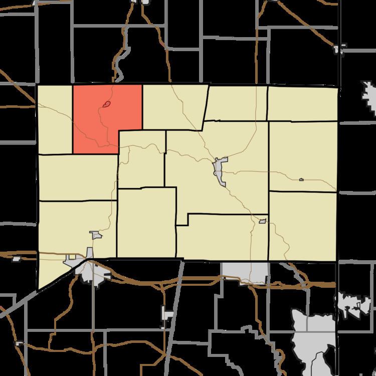
- Map of Laurel Township IN USA
- History
- Geography
- Cities and towns
- Unincorporated towns
- Adjacent townships
- Major highways
- Cemeteries
- References
Map of Laurel Township, IN, USA
History
Laurel Township was established in 1845.
Geography
According to the 2010 census, the township has a total area of 31.74 square miles (82.2 km2), of which 31.5 square miles (82 km2) (or 99.24%) is land and 0.23 square miles (0.60 km2) (or 0.72%) is water. Triple Lakes is in this township.
Cities and towns
Unincorporated towns
Adjacent townships
Major highways
Cemeteries
The township contains three cemeteries: Gobel, Jenks and North.
References
Laurel Township, Franklin County, Indiana Wikipedia(Text) CC BY-SA