
Population 0 | ||
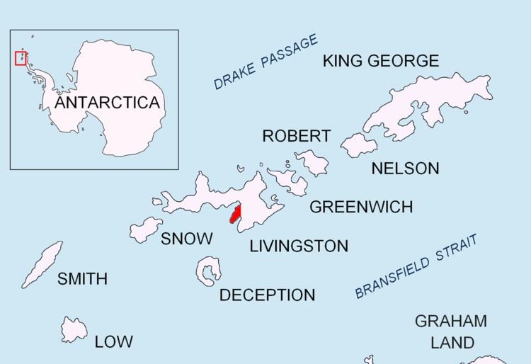 | ||
Sally Rocks is a small group of rocks trending southwestwards in South Bay just off the west coast of Hurd Peninsula, Livingston Island in the South Shetland Islands, Antarctica.
Contents
Map of Sally Rocks, Antarctica
The feature's name derives from the name 'Sallys Cove' applied in 1820-23 by James Weddell to a cove in the vicinity.
Location
The rocks are centred at 62°42′08.8″S 60°25′45.7″W which is 1.78 km (1.11 mi) south of Salisbury Bluff, 2.04 km (1.27 mi) north of Miers Bluff and 10.82 km (6.72 mi) southeast of Hannah Point (British mapping in 1968, detailed Spanish mapping in 1991, Bulgarian mapping in 2005 and 2009).
Maps
References
Sally Rocks Wikipedia(Text) CC BY-SA