Suvarna Garge (Editor)

Sairé

Updated on
Edit
Like
Comment
Share on FacebookTweet on TwitterShare on LinkedInShare on Reddit
Area
  
198.8 km²

Sairé brdistanciacidadescomfotos47104251jpg

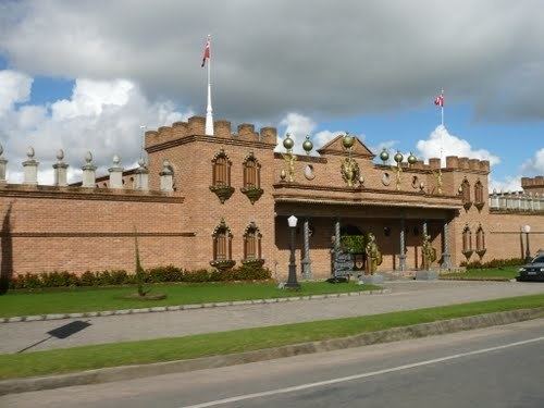
Sairé is a municipality located in the state of Pernambuco, Brazil. Located at 110.7 km away from Recife, capital of the state of Pernambuco. Has an estimated (Ibge 2009) population of 14.194 inhabitants.

Contents

Map of Sair%C3%A9, State of Pernambuco, Brazil

Geography

  • State - Pernambuco
  • Region - Agreste Pernambucano
  • Boundaries - Bezerros (N); Bonito and Barra de Guabiraba (S); Gravatá (E); Camocim de São Félix (W).
  • Area - 195.46 km2
  • Elevation - 663 m
  • Hidrography - Ipojuca and Sirinhaém rivers
  • Vegetation - Subcaducifólia and hipoxerófila
  • Clima - Tropical hot and humid
  • Annual average temperature - 24.0 c
  • Distance to Recife - 110.7 km
  • Economy

    The main economic activities in Sairé are based in agribusiness, especially tomatoes, tangerines, passion fruits; and livestock such as cattle, sheep and poultry.

    Economic indicators

    Economy by Sector 2006

    References

    Sairé Wikipedia