
Time zone EST (UTC−5) Area 70.9 km² Local time Tuesday 7:51 PM | Constituted December 31, 1988 Postal code(s) J0P 1X0 Population 1,969 (2011) Province Québec | |
 | ||
Weather 3°C, Wind W at 6 km/h, 99% Humidity | ||
Saint-Polycarpe is a Quebec municipality located in the Vaudreuil-Soulanges Regional County Municipality in the Montérégie region west of Montreal and just east of the Quebec-Ontario border. It was named for Polycarp, a 2nd-century bishop of Smyrna. The population as of the Canada 2011 Census was 1,969.
Contents
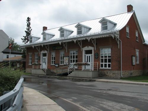
Map of Saint-Polycarpe, QC, Canada
While a parish during the 18th century, its territory included portions of what is now part of Saint-Zotique located south of Autoroute 20 that links Montreal and Toronto.
Transportation
Saint-Polycarpe is located along Route 340 with nearby Quebec Autoroute 20 running south of the municipality.
References
Saint-Polycarpe, Quebec Wikipedia(Text) CC BY-SA