
Founded 1883 | Congressional district 5th Area 1,763 km² Population 15,487 (2013) Unemployment rate 8.7% (Apr 2015) | |
 | ||
Website www.arenaccountygov.com Rivers Saganing River, East Branch Au Gres River | ||
Arenac county michigan
Arenac County is a county located in the U.S. state of Michigan. As of the 2010 census, the population was 17,269. The county seat is Standish.
Contents
- Arenac county michigan
- Map of Arenac County MI USA
- History
- Geography
- Geographic features
- Major highways
- Adjacent counties
- National protected area
- Demographics
- Religion
- Government
- Elected officials
- Cities
- Villages
- Unincorporated communities
- Events
- References
Map of Arenac County, MI, USA
History
Arenac County was organized in 1883. The name Arenac, coined by Henry Rowe Schoolcraft, US Indian Agent and ethnologist, is a derivation of the Latin arena and the Native American ac. The combined words mean “A sandy place for a good footing.”
The county includes some off-reservation trust lands held by the federal government for the federally recognized Saginaw Chippewa Tribal Nation, which is based in Isabella County. In early 2007, plans were confirmed for a casino to be constructed outside of the city of Standish with a scheduled opening by the end of the year. It is owned and operated by the Saginaw Chippewa Tribe. The Saganing Eagles Landing Casino grand opening was held January 24, 2008 at 2690 Worth Road.
Geography
According to the U.S. Census Bureau, the county has a total area of 681 square miles (1,760 km2), of which 363 square miles (940 km2) is land and 317 square miles (820 km2) (47%) is water. It is the third-smallest county in Michigan by land area. Arenac County can be considered a part of either Northern Michigan or Central Michigan.
Geographic features
Major highways
Adjacent counties
National protected area
Demographics
As of the 2000 census, there were 17,269 people, 6,710 households, and 4,717 families residing in the county. The population density was 47 people per square mile (18/km²). There were 9,563 housing units at an average density of 26 per square mile (10/km²). The racial makeup of the county was 95.38% White, 1.82% Black or African American, 0.95% Native American, 0.29% Asian, 0.01% Pacific Islander, 0.21% from other races, and 1.33% from two or more races. 1.38% of the population were Hispanic or Latino of any race. 24.0% were of German, 14.1% Polish, 11.6% French, 10.6% American, 7.9% English, 6.8% Irish and 5.3% French Canadian ancestry according to Census 2000. 96.9% spoke English and 1.3% Spanish as their first language.
There were 6,710 households out of which 29.00% had children under the age of 18 living with them, 57.00% were married couples living together, 9.00% had a female householder with no husband present, and 29.70% were non-families. 25.50% of all households were made up of individuals and 12.30% had someone living alone who was 65 years of age or older. The average household size was 2.45 and the average family size was 2.92.
In the county, the population was spread out with 23.30% under the age of 18, 7.80% from 18 to 24, 26.80% from 25 to 44, 25.50% from 45 to 64, and 16.60% who were 65 years of age or older. The median age was 40 years. For every 100 females there were 105.40 males. For every 100 females age 18 and over, there were 104.40 males.
The median income for a household in the county was $32,805, and the median income for a family was $39,033. Males had a median income of $31,205 versus $20,363 for females. The per capita income for the county was $16,300. About 11.30% of families and 13.90% of the population were below the poverty line, including 20.70% of those under age 18 and 7.80% of those age 65 or over.
Religion
The Roman Catholic Diocese of Saginaw is the controlling regional body for the Catholic Church.
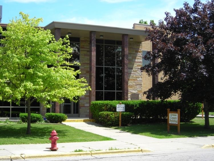
Government
The county government operates the jail, maintains rural roads, operates the major local courts, keeps files of deeds and mortgages, maintains vital records, administers public health regulations, and participates with the state in the provision of welfare and other social services. The county board of commissioners controls the budget but has only limited authority to make laws or ordinances. In Michigan, most local government functions — police and fire, building and zoning, tax assessment, street maintenance, etc. — are the responsibility of individual cities and townships.
Elected officials
(information as of March 2009)