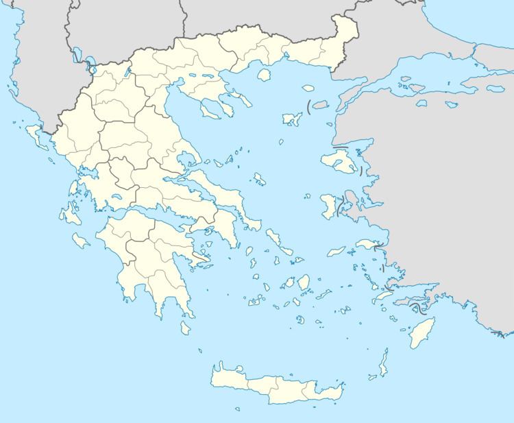
Vehicle registration ΗΝ | Time zone EET (UTC+2) Local time Tuesday 4:41 AM | |
 | ||
Weather 7°C, Wind NE at 10 km/h, 81% Humidity | ||
Sagiada (Greek: Σαγιάδα) is a village and a former municipality in Thesprotia, Epirus, Greece. Since the 2011 local government reform it is part of the municipality Filiates, of which it is a municipal unit. The municipal unit has an area of 87.803 km2. In 2011 its population was 594 for the village and 1,740 for the municipal unit. The seat of the municipality was in Asprokklisi. Sagiada stretches between the Ionian Sea to the west and Albania to the north. It is the westernmost point of mainland Greece. The river Thyamis flows into sea 4 km south of the village Sagiada. There are plains in the southern part of the municipal unit, and mountains on the Albanian border. The village Sagiada is 10 km west of Filiates, 15 km northwest of the capital of Thesprotia, Igoumenitsa, and 4 km south of the Albanian town of Konispol.
Contents
Map of Sagiada 463 00, Greece
The origin of the name Sagiada is most probably arabic, meaning a place where fish is in abundance. There are two more fishing towns with the same name; a Sayada in Tunisia and a Sayada in Algeria.
Subdivisions
The former municipal unit of Sagiada was subdivided into the following communities:
