
Vehicle registration ΗΝ Local time Saturday 6:11 PM | Time zone EET (UTC+2) Area 590.6 km² | |
 | ||
Weather 14°C, Wind N at 16 km/h, 46% Humidity | ||
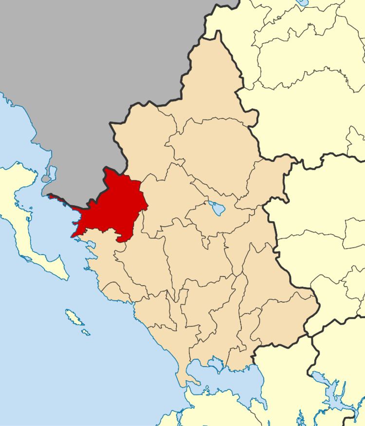
Filiates (Greek: Φιλιάτες) is a town and a municipality in Thesprotia, Greece. It is located in the northernmost part of the regional unit, bordering western Ioannina regional unit and southern Albania.
Contents
- Map of Filiates 463 00 Greece
- Name
- Municipality
- Province
- Geography
- Ancient history
- Modern history
- Notable people
- References
Map of Filiates 463 00, Greece
Name
Filiates was known as Cestrine prior to the Ottoman period. Other ancient names for it were Cammania, Cestria, Ilion, Epirus, Troy, Epirus and Troia and Epirusis. Filiates is known as Filat in Albanian, and as Filyat in Ottoman Turkish.
Municipality
The present municipality Filiates was formed at the 2011 local government reform by the merger of the following 2 former municipalities, that became municipal units (constituent communities in brackets):
The municipality has an area of 583.530 km2, the municipal unit 495.727 km2.
Province
The province of Filiates (Greek: Επαρχία Φιλιατών) was one of the provinces of Thesprotia. It had the same territory as the present municipality. It was abolished in 2006.
Geography
Filiates is located in a largely mountainous area. The Mourgana mountains lie to the north, on the border with Albania. Filiates is located southwest of Konitsa, west of Ioannina, northeast of Igoumenitsa and southeast of Sarandë, Albania. The Greek National Road 6 (Larissa - Ioannina - Igoumenitsa) and the Egnatia Odos motorway (Alexandroupoli - Thessaloniki - Ioannina - Igoumenitsa) pass south of the municipal unit.
The municipal unit Filiates has a land area of 495.727 km² and a population of 5,970 (2011 census). The population of the town Filiates, one of the biggest towns in the area, was 2,512 and the community population was 2,639. The largest other villages in the municipal unit are Keramítsa (pop. 149), Palaiochóri (142), Vrysélla (267), Leptokaryá (193), Trikóryfon (177), Aetos (134), Keramitsa (149), Kyparisso (111), Pigadoulia (116), Raveni (123) and Kokkiniá (130). The municipal unit has a total of 42 communities.
Because of its high altitude (~850m) location on a west-facing slope, Filiates has one of the wettest climates in Greece.
Ancient history
In antiquity, the area of Filiates was inhabited by the Epirot Greek tribe of the Chaonians. In antiquity the city was known as Cestrine (or Kestrine) (Greek: Κεστρίνη), separated from Thesprotia by the River Thyamis. In the past, the city was also known as Cammania, Cestria, Filiates, Ilion, Epirus, Troy, Epirus and Troia, Epirus. According to Pausanias (Description of Greece), Cestrine took its name from Cestrinus, the son of Helenus, having previously borne the appellation of Cammania.
Modern history
In 15th century Filiates came under Ottoman rule and became part of Sanjak of Ioannina. During 17th and 18th century Ottoman rule a significant part of the town's population converted to Islam. In 1911 during the period of the dissolution of the Ottoman Empire, Albanians of Filiates formed çetes, armed guerilla groups fighting for autonomy from the Ottoman Empire. On the other hand, the local Greek population displayed tolerance towards actions by the Albanians that didn't reveal chauvinist inclinations.
During the Greek-Italian War the town of Filiates was burned by collaborationist Cham Albanian bands (October 28-November 14, 1940). Filiates region was until 1944, home to a Cham Albanian community. Almost the entire population of them fled during the liberation of Greece, because a large part of the community collaborated with Nazi forces. In September 1944, during the Axis withdrawal, the EDES resistance managed to quickly overcome the remaining Cham collaborator units stationed in the town. After the initial chaos and destruction that lasted for five days, the town's Cham community fled to Albania. The Cham leaders had managed to retreat together with the German troops. Almost all Cham Albanian monuments of Filiates were destroyed during World War II.