
Time zone EST (UTC−5) Area 211.8 km² Province Québec | Constituted unspecified Area code(s) 418 and 581 Population 117 (2011) | |
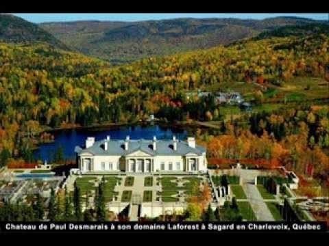 | ||
Sagard is an unorganized territory and hamlet in the Capitale-Nationale region of Quebec, Canada, part of the Charlevoix-Est Regional County Municipality. The hamlet of Sagard () is located on the eastern banks of the Little Saguenay River, along Route 170 between Saint-Siméon and Petit-Saguenay.
Contents
Map of Sagard, QC, Canada
History
The territory and hamlet are named after the geographic township of Sagard, which was proclaimed in 1919 and named in honour of Théodat Sagard, a missionary of the Recollect order who is mainly remembered for his writings on New France and the Hurons.
Geography
The territory is characterized by a hilly terrain, dotted with many small lakes. Its elevation ranges from 274 meters (899 ft) at Lake David in the north-east, to 640 meters (2,100 ft) at the summit of Mount Chicot.
Population
Private dwellings occupied by usual residents: 50 (total dwellings: 64)