
Area 55.98 km² | Max. depth 280 ft (85 m) Surface elevation 436 m Outflow location Saganagons Lake | |
 | ||
Primary inflows Primary outflows Silver Falls in Cache Bay Surface area 13,832 acres (5,598 ha) Frozen typically November to May Inflow source Sea Gull River, Granite River, Northern Light Lake Basin countries Canada, United States of America | ||
Saganaga lake monster walleye
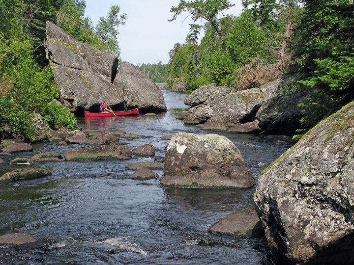
Saganaga Lake is a large lake on the Minnesota – Ontario international border. It is protected by the Boundary Waters Canoe Area Wilderness in the United States and by Quetico Provincial Park and La Verendrye Provincial Park in Canada.
Contents
- Saganaga lake monster walleye
- Map of Saganaga Lake Unorganized Thunder Bay District ON Canada
- Ice for the 2016 minnesota opener on saganaga lake 12 jan 2016
- References
Map of Saganaga Lake, Unorganized Thunder Bay District, ON, Canada
It is both the deepest and largest lake in the Boundary Waters Canoe Area Wilderness with a maximum depth of 280 ft (85 m) and surface area of 13,832 acres (5,598 ha).
Saganaga is a popular fishing destination, with northern pike, walleye, lake trout, smallmouth bass, and lake whitefish among others. Minnesota Department of Natural Resources has issued a consumption advisory for some fish in Saganaga Lake due to mercury pollution. The Lake is the eastern boundary of the historical Hunter Island region. Saganaga Lake is bordered to the south by Seagull Lake, home to Wilderness Canoe Base.