
Area 783.4 km² | ||
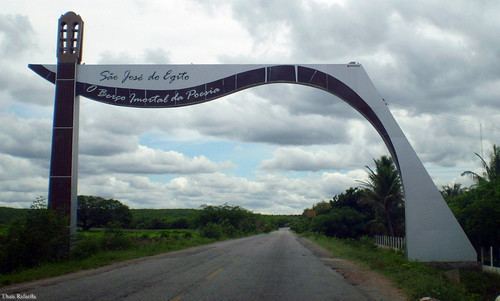 | ||
São José do Egito is a city in the state of Pernambuco, Brazil. The population in 2009, according with IBGE was 31,792 and the area is 791.9 km².
Contents
- Map of SC3A3o JosC3A9 do Egito State of Pernambuco Brazil
- Geography
- Economy
- Economic Indicators
- References
Map of S%C3%A3o Jos%C3%A9 do Egito, State of Pernambuco, Brazil
Geography
Economy
The main economic activities in São José do Egito are based in commerce and agribusiness, especially creation of goats, cattle, sheeps, pigs, chickens; and plantations of corn, beans and tomatoes.
Economic Indicators
Economy by Sector 2006
References
São José do Egito Wikipedia(Text) CC BY-SA