Puneet Varma (Editor)

Tabira, Pernambuco

Updated on
Edit
Like
Comment
Share on FacebookTweet on TwitterShare on LinkedInShare on Reddit
Area
  
393.6 km²

Tabira, Pernambuco builder02hstbrnetuploadsimages41387f3cdf4eec

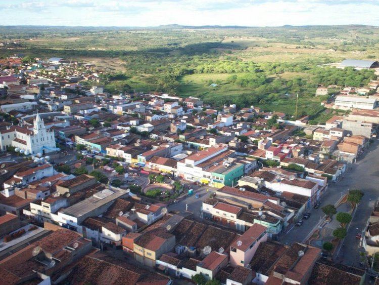
Tabira is a city in the state of Pernambuco, Brazil. The population in 2009, according to the IBGE, was 27.219 inhabitants.Its total area is 388 km².

Contents

Map of Tabira, State of Pernambuco, Brazil

Geography

  • State - Pernambuco
  • Region - Sertão Pernambucano
  • Boundaries - Santa Terezinha and Paraiba state (N); Ingazeira and Iguaraci (S); Santa Terezinha and São José do Egito (E); Afogados da Ingazeira and Solidão (W).
  • Area - 388 km²
  • Elevation - 558 m
  • Hidrography - Pajeú River
  • Vegetation - Caatinga hiperxerófila
  • Clima - semi-arid hot and tropical hot
  • Annual average temperature - 27.0 c
  • Distance to Recife - 398 km
  • Economy

    The main economic activities in Tabira are based in the food and beverage industry, commerce and agribusiness, especially the raising of cattle, sheep, pigs, goats; and plantations of corn and beans.

    Economic indicators

    Economy by sector 2006

    References

    Tabira, Pernambuco Wikipedia