Rahul Sharma (Editor)

Santa Terezinha, Pernambuco

Updated on
Edit
Like
Comment
Share on FacebookTweet on TwitterShare on LinkedInShare on Reddit
Area
  
196 km²

Santa Terezinha, Pernambuco brdistanciacidadescomfotos67590802jpg

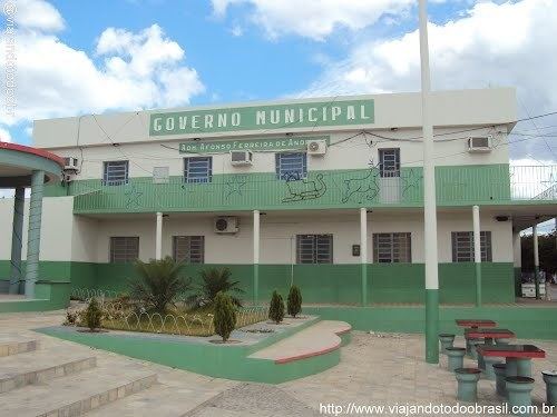
Santa Terezinha is a city in the state of Pernambuco, Brazil. The population in 2009, according with IBGE was 10.184 inhabitants and the total area is 195.58 km².

Contents

Map of Santa Terezinha - State of Pernambuco, Brazil

Geography

  • State - Pernambuco
  • Region - Sertão Pernambucano
  • Boundaries - Paraiba state and Brejinho (N); São José do Egito and Tabira (S); São José do Egito (E); Tabira (W).
  • Area - 195.58 km²
  • Elevation - 813 m
  • Hidrography - Pajeú River
  • Vegetation - Caatinga
  • Clima - Semi arid and tropical hot
  • Annual average temperature - 21.7 c
  • Distance to Recife - 429.5 km
  • Economy

    The main economic activities in Santa Terezinha are based in agribusiness, especially creation of cattle, sheep, pigss, goats, chickens; and plantations of beans, corn and manioc.

    Economic Indicators

    Economy by Sector 2006

    References

    Santa Terezinha, Pernambuco Wikipedia