
Time zone CST (UTC-6) Elevation 351 m Local time Saturday 5:05 AM | Established 1867 Area 90.1 km² Population 529 (2000) | |
 | ||
Weather 3°C, Wind NE at 29 km/h, 96% Humidity | ||
Rutland Township is one of twelve townships in Humboldt County, Iowa, USA. As of the 2000 census, its population was 529.
Contents
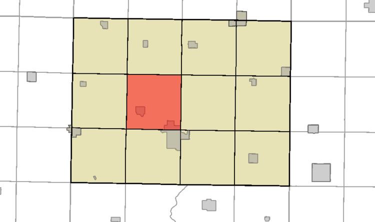
- Map of Rutland IA USA
- History
- Geography
- Cities towns villages
- Adjacent townships
- Cemeteries
- Political districts
- References
Map of Rutland, IA, USA
History
Rutland Township was organized in 1867.
Geography
According to the United States Census Bureau, Rutland Township covers an area of 34.8 square miles (90 km2); 34.5 square miles (89 km2) of this is land, and the remaining 0.3 square miles (0.78 km2) is water.
Cities, towns, villages
Adjacent townships
Cemeteries
The township contains Rutland Township Cemetery.
Political districts
References
Rutland Township, Humboldt County, Iowa Wikipedia(Text) CC BY-SA