
Time zone CST (UTC-6) Elevation 346 m Population 316 (2000) | Established 1873 Local time Friday 4:21 PM | |
 | ||
Weather -6°C, Wind N at 13 km/h, 34% Humidity Area 94.02 km² (93.76 km² Land / 26 ha Water) | ||
Grove Township is one of twelve townships in Humboldt County, Iowa, USA. As of the 2000 census, its population was 316.
Contents
- Map of Grove IA USA
- History
- Geography
- Cities towns villages
- Adjacent townships
- Cemeteries
- Political districts
- References
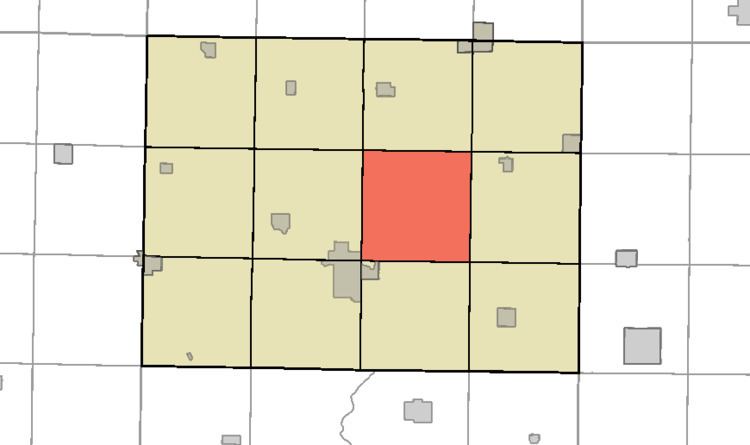
Map of Grove, IA, USA
History
Grove Township was organized in 1873.
Geography
According to the United States Census Bureau, Grove Township covers an area of 36.3 square miles (94 km2); 36.2 square miles (94 km2) of this is land, and the remaining 0.1 square miles (0.26 km2) is water.
Cities, towns, villages
A community named Randolph contained a post office from 1874-1875. A post office also existed for the community Arnold, formerly Grove, from 1900-1929. Both of these historic communities were located in the northwest corner of Grove Township.
Adjacent townships
Cemeteries
The township contains Hands Grove Township Cemetery.
Political districts
References
Grove Township, Humboldt County, Iowa Wikipedia(Text) CC BY-SA