
Time zone CST (UTC-6) Elevation 347 m Local time Thursday 12:05 PM | Established 1857 Area 94.8 km² Population 246 (2000) | |
 | ||
Weather 9°C, Wind N at 27 km/h, 44% Humidity | ||
Wacousta Township is one of twelve townships in Humboldt County, Iowa, USA. As of the 2000 census, its population was 246.
Contents
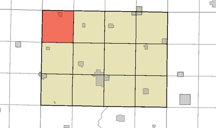
- Map of Wacousta IA USA
- History
- Geography
- Cities towns villages
- Adjacent townships
- Political districts
- Cemeteries
- References
Map of Wacousta, IA, USA
History
Wacousta Township was organized in 1858.
Geography
According to the United States Census Bureau, Wacousta Township covers an area of 36.6 square miles (95 km2); all of this land.
Cities, towns, villages
Adjacent townships
Political districts
Cemeteries
Wacousta Township contains McKnight Cemetery and Union Cemetery, in addition to the Omer-Thorsen Farm.
References
Wacousta Township, Humboldt County, Iowa Wikipedia(Text) CC BY-SA