
Time zone CST (UTC-6) Elevation 345 m Population 351 (2000) | Established 1878 Local time Wednesday 5:57 AM | |
 | ||
Weather 0°C, Wind NW at 21 km/h, 92% Humidity Area 93.5 km² (90.39 km² Land / 52 ha Water) | ||
Beaver Township is one of twelve townships in Humboldt County, Iowa, USA. As of the 2000 census, its population was 351. Beaver Township also contains the county seat of Humboldt County, Dakota City.
Contents
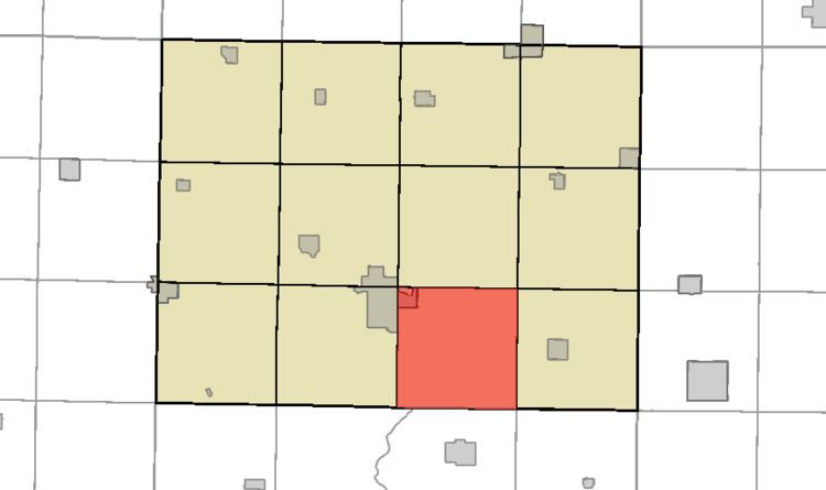
- Map of Beaver IA USA
- History
- Geography
- Cities towns villages
- Adjacent townships
- Cemeteries
- Political districts
- References
Map of Beaver, IA, USA
History
Beaver Township was organized in 1878.
Geography
According to the United States Census Bureau, Beaver Township covers an area of 36.1 square miles (93 km2); of this, 35.9 square miles (93 km2) is land and 0.2 square miles (0.52 km2) is water.
Cities, towns, villages
Adjacent townships
Cemeteries
The township contains both East Beaver Cemetery and Zion Cemetery.
Political districts
References
Beaver Township, Humboldt County, Iowa Wikipedia(Text) CC BY-SA