
Time zone CST (UTC-6) Elevation 344 m Population 366 (2000) | Established 1876 Local time Monday 5:04 AM | |
 | ||
Weather 13°C, Wind S at 31 km/h, 83% Humidity Area 84.95 km² (84.69 km² Land / 26 ha Water) | ||
Corinth Township is one of twelve townships in Humboldt County, Iowa, USA. As of the 2000 census, its unincorporated population was 366. Corinth Township also contains most of the largest town in Humboldt County, Humboldt.
Contents
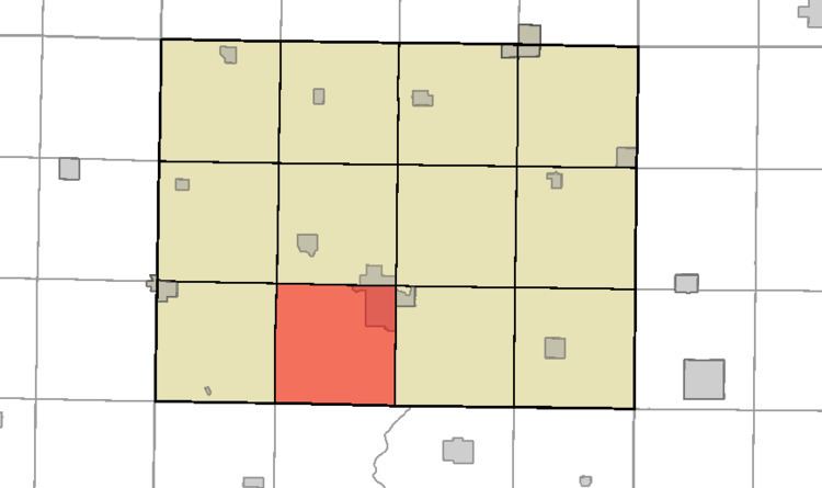
- Map of Corinth IA 50548 USA
- History
- Geography
- Cities towns villages
- Adjacent townships
- Cemeteries
- Political districts
- References
Map of Corinth, IA 50548, USA
History
Corinth Township was organized in 1879.
Geography
According to the United States Census Bureau, Corinth Township covers an area of 32.8 square miles (85 km2); of this, 32.7 square miles (85 km2) is land and 0.1 square miles (0.26 km2) is water.
Cities, towns, villages
Adjacent townships
Cemeteries
The township contains Indian Mound Cemetery, Oakwood Cemetery, and Our Saviors Cemetery. St. Mary's Cemetery is located within the Humboldt city limits.
Political districts
References
Corinth Township, Humboldt County, Iowa Wikipedia(Text) CC BY-SA