
Population 13,496 (2015 est) Mayor Cr Barbara Alexander Founded 2002 Council seat Benalla | Established 2002 Area 2,375 km² Gazetted 17 October 2002 | |
 | ||
Points of interest Benalla Art Gallery, Benalla Botanical Gardens, Reef Hills State Park, Mount Samaria State Park, TAMINICK CELLARS Destinations Benalla, Glenrowan, Warby‑Ovens National, Tolmie, Baddaginnie | ||
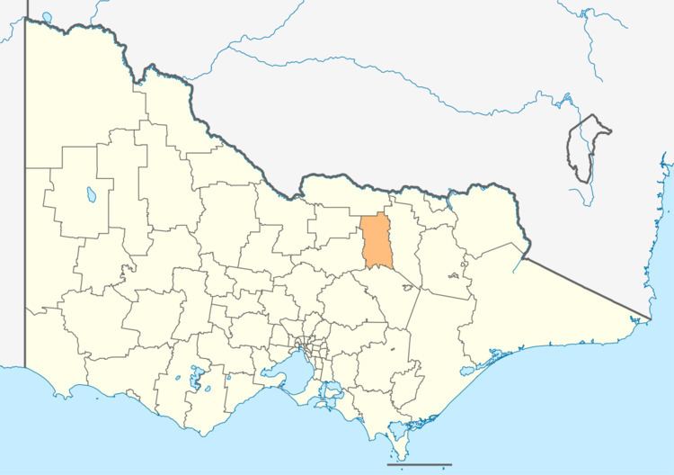
The Rural City of Benalla is a local government area in the Hume region of Victoria, Australia, located in the north-east part of the state. It covers an area of 3,843 square kilometres (1,484 sq mi) and, at the 2011 Census, had a population of 7,893. It includes the towns of Baddaginnie, Benalla, Devenish, Goorambat, Major Plains, Swanpool, Tatong, Thoona, Warrenbayne and Winton. It was formed in 2002 from the de-amalgamation of the Shire of Delatite into the current rural city and the Shire of Mansfield.
Contents
Map of Benalla, VIC, Australia
The Rural City is governed and administered by the Benalla Rural City Council; its seat of local government and administrative centre is located at the council headquarters in Benalla. The Rural City is named after the main urban settlement located in the centre-north of the LGA, that is Benalla, which is also the LGA's most populous urban centre with a population of 10,331.
Current composition
The council is composed of seven councillors elected to represent an unsubdivided municipality.
Administration and governance
The council meets in the council chambers at the council headquarters in the Benalla Municipal Offices, which is also the location of the council's administrative activities. It also provides customer services at its administrative centre in Benalla.