
Population 465 (2011 census) Postal code 3670 | Postcode(s) 3670 Local time Tuesday 4:00 PM | |
 | ||
Weather 35°C, Wind S at 10 km/h, 21% Humidity Federal divisions Division of Indi, Division of Murray | ||
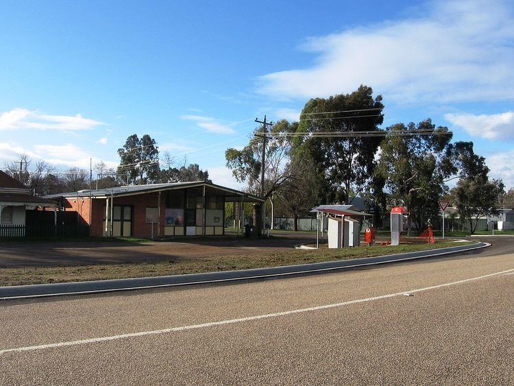
Baddaginnie is a small town in Victoria, Australia. It is located on the North East railway line, in the Rural City of Benalla, 12 kilometres south-west of Benalla itself on the old Hume Highway. It is situated in mainly flat unforested country, one kilometre west of Baddaginnie Creek. At the 2011 census, Baddaginnie and the surrounding area had a population of 465.
Map of Baddaginnie VIC 3670, Australia
The town was surveyed in 1857, named after the nearby Baddaginnie Creek, but settlement was slow, a Post Office finally opening on 16 September 1879. A railway station was open and served passengers until July 1978.
George "Joey" Palmer, the 1880s Australian test cricketer, died there on 22 August 1910.
Although often mistaken for an Aboriginal word, Baddaginnie may have named by a surveyor who had spent some time in Ceylon (now Sri Lanka), from baddaginnie’ meaning "hungry" in the Sinhala language (bada is ’stomach’ and ginnie is ’fire’).