
Native name แม่น้ำรวก Tributaries Right:Mae Sai River | Country Myanmar and Thailand Length 327 km | |
 | ||
Similar Doi Mae Salong, Wat Phra Kaew - Chiang Rai, Singha Park, Wat Rong Khun, Kok River | ||
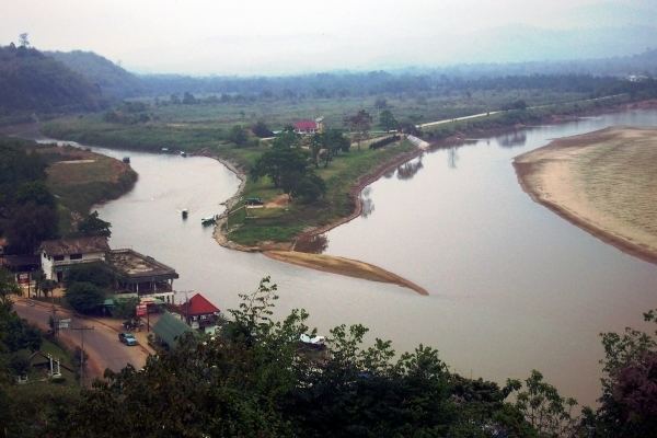
The Ruak River (Thai: แม่น้ำรวก, Lanna: , rtgs: Maenam Ruak, [mɛ̂ːnáːm rûək]) is a right hand tributary of the Mekong. The mouth of the Ruak river is at the Thai-Burma border opposite Laos, a spot known as the "Golden Triangle", a popular tourist destination.
Contents
Map of Ruak
Course
The Ruak originates within the hills of the Daen Lao Range, Shan State (Burma), and becomes the boundary river between Thailand and Burma at the confluence with the Mae Sai River near the northernmost point of Thailand. It then meanders eastwards until it empties into the Mekong River at Ban Sop Ruak, Tambon Wiang, Chiang Saen District, Chiang Rai Province. The boundary section of the river is 26.75 kilometres (16.62 mi) long.
References
Ruak River Wikipedia(Text) CC BY-SA