
- location east of Murrumburrah - location west of Binalong | - elevation 404 m (1,325 ft) - elevation 315 m (1,033 ft) | |
 | ||
The Rocky Ponds Creek, a watercourse that is part of the Murrumbidgee catchment within the Murray–Darling basin, is located in the South West Slopes region of New South Wales, Australia.
Contents
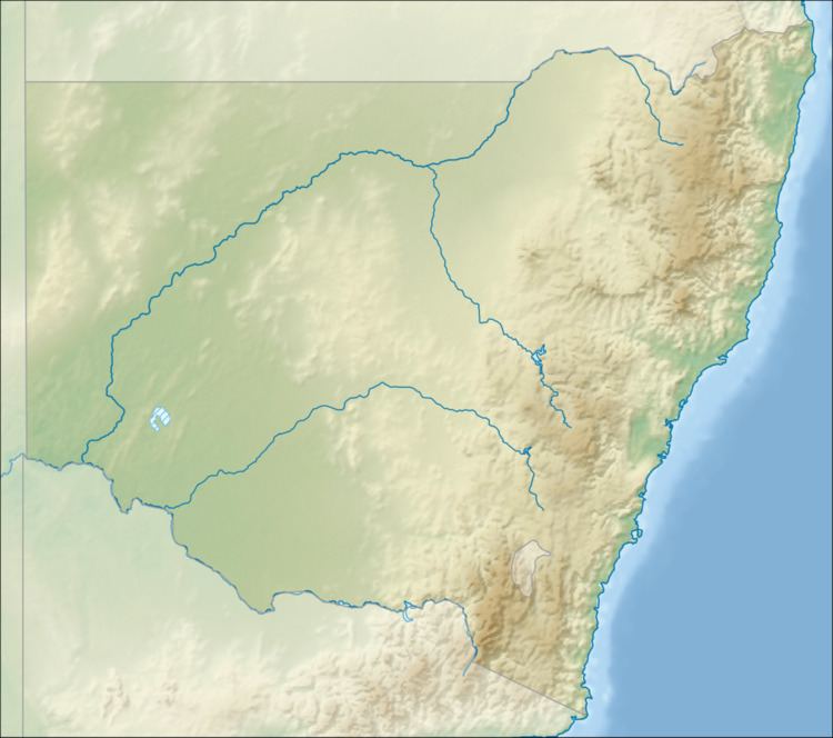
Map of Rocky Ponds Creek, New South Wales, Australia
Course and features
The Rocky Ponds Creek (technically a river) rises below Rocky Ponds, approximately 16 kilometres (9.9 mi) east of the town of Murrumburrah, on the south western slopes of the Great Dividing Range. The creek flows generally west and then south before reaching its confluence with the Jugiong Creek (itself a tributary of the Murrumbidgee River) near the locality of Hidden Brook, and west of Binalong. The creek descends 89 metres (292 ft) over its 25-kilometre (16 mi) course.
The Burley Griffin Way crosses the creek in the parish of Cumbamurra.
References
Rocky Ponds Creek Wikipedia(Text) CC BY-SA