
- location near Illalong Creek - location east of Jugiong | - elevation 422 m (1,385 ft) - elevation 247 m (810 ft) | |
 | ||
Lgas Yass Valley Council, Harden Shire | ||
The Jugiong Creek, a mostly–perennial river that is part of the Murrumbidgee catchment within the Murray–Darling basin, is located in the South West Slopes region of New South Wales, Australia.
Contents
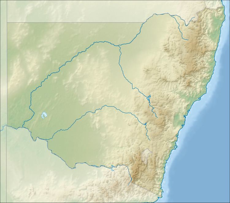
Map of Jugiong Creek, New South Wales, Australia
Course and features
Formed by the confluence of the Illalong and Bogolong Creeks, the Jugiong Creek (technically a river) rises in the Burrinjuck State Forest near the locality of llalong Creek, on the south western slopes of the Great Dividing Range. The creek flows generally north, west northwest and then southwest, joined by four minor tributaries, before reaching its confluence with the Murrumbidgee River east of the town of Jugiong. The creek descends 175 metres (574 ft) over its 58-kilometre (36 mi) course.
The creek is crossed by the Hume Highway near the river mouth.