
Time zone EST (UTC−5) Area 37,104 km² Province Québec | Constituted January 1, 1986 Area code(s) 418 and 581 Population 86 (2011) | |
 | ||
Rivière-aux-Outardes is an unorganized territory in the Côte-Nord region of Quebec, Canada. It makes up almost 95% of the Manicouagan Regional County Municipality.
Contents
Map of Rivi%C3%A8re-aux-Outardes, QC, Canada
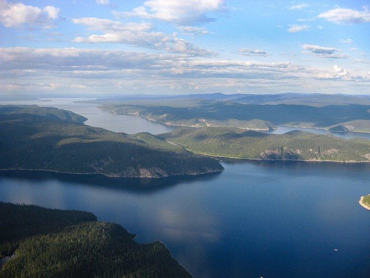
The eponymous Outardes River is nearly 400 kilometres (250 mi) long, and flows through the territory in a north-south direction before draining into Outardes Bay at Ragueneau. The other major river in the territory is the Manicouagan River that flows parallel and east of the Outardes River. Both these rivers are developed with large-scale hydroelectric installations, part of the Manic-Outardes Project.
The Manicouagan Reservoir, a circular lake that covers the Manicouagan crater, is almost entirely located within the territory.
Quebec Route 389, running for a large part between the Outardes and Manicouagan Rivers, provides access to the territory and the hydroelectric installations along these rivers. It is an isolated highway with few roadside services that are great distances apart.
Demographics
Population trend:
Private dwellings occupied by usual residents: 48 (total dwellings: 57)