
Constituted March 7, 1951 Area 213.2 km² Province Québec | Settled 1920 Time zone EST (UTC−5) Population 1,405 (2011) | |
 | ||
Ragueneau is a parish municipality in Quebec, Canada, on Outardes Bay on the north shore of the Saint Lawrence River.
Contents
Map of Ragueneau, QC, Canada
History
The first settlers arrived in 1920, mostly from Saint-Paul-du-Nord, Les Escoumins, and Sainte-Anne-de-Portneuf. That same year, Ragueneau Township was proclaimed and named after Jesuit Paul Ragueneau (1608-1680). In 1926, its post office opened.
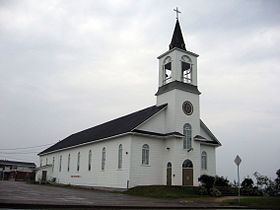
Three communities developed concurrently along the shores of the Saint Lawrence: Rivière-à-la-Truite in the north-east, Ruisseau-Vert in the centre, and Ragueneau in the south-west. The main administrative, commercial, cultural, and religious activities concentrated in Ruisseau-Vert, so that over time this community became known as Ragueneau itself. In 1951, the Parish Municipality of Ragueneau was incorporated.
Demographics
Population trend:
Private dwellings occupied by usual residents: 607 (total dwellings: 661)
Mother tongue: