
Country United States Elevation 487 m Local time Wednesday 7:29 PM | GNIS feature ID 0485459 Area 94.76 km² Population 100 (2000) | |
 | ||
Weather 7°C, Wind NW at 34 km/h, 88% Humidity | ||
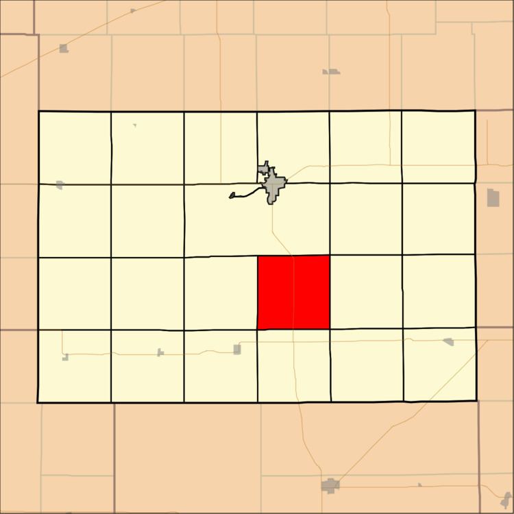
Richland Township is a township in Kingman County, Kansas, USA. As of the 2000 census, its population was 100.
Contents
- Map of Richland KS USA
- Geography
- Unincorporated towns
- Adjacent townships
- Cemeteries
- Major highways
- Airports and landing strips
- References
Map of Richland, KS, USA
Geography
Richland Township covers an area of 36.59 square miles (94.76 square kilometers); of this, 0.07 square miles (0.17 square kilometers) or 0.18 percent is water.
Unincorporated towns
(This list is based on USGS data and may include former settlements.)
Adjacent townships
Cemeteries
The township contains one cemetery, Hunt.
Major highways
Airports and landing strips
References
Richland Township, Kingman County, Kansas Wikipedia(Text) CC BY-SA