
Elevation 491 m Local time Monday 8:02 PM | GNIS feature ID 0485461 Area 181.2 km² Population 313 (2000) | |
 | ||
Weather 13°C, Wind E at 11 km/h, 61% Humidity | ||
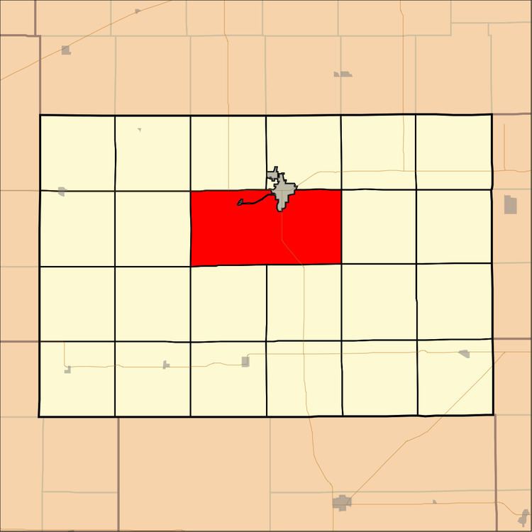
Ninnescah Township is a township in Kingman County, Kansas, USA. As of the 2000 census, its population was 313.
Contents
- Map of Ninnescah KS 67068 USA
- Geography
- Unincorporated towns
- Adjacent townships
- Major highways
- References
Map of Ninnescah, KS 67068, USA
Geography
Ninnescah Township covers an area of 69.97 square miles (181.21 square kilometers); of this, 0.5 square miles (1.28 square kilometers) or 0.71 percent is water. The township surrounds the southern half of the county seat of Kingman. The streams of Hunter Creek, Negro Creek, Petyt Creek and Wild Run Creek run through this township.
Unincorporated towns
(This list is based on USGS data and may include former settlements.)
Adjacent townships
Major highways
References
Ninnescah Township, Kingman County, Kansas Wikipedia(Text) CC BY-SA