
Country United States Elevation 462 m Local time Saturday 5:44 PM | GNIS feature ID 0485521 Area 93.85 km² Population 140 (2000) | |
 | ||
Weather 16°C, Wind S at 43 km/h, 52% Humidity | ||
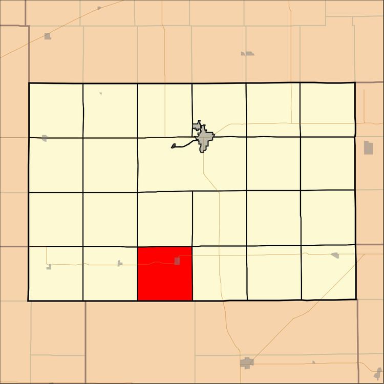
Chikaskia Township is a township in Kingman County, Kansas, USA. As of the 2000 census, its population was 140.
Contents
- Map of Chikaskia KS USA
- Geography
- Cities and towns
- Adjacent townships
- Major highways
- Airports and landing strips
- References
Map of Chikaskia, KS, USA
Geography
Chikaskia Township covers an area of 36.24 square miles (93.85 square kilometers); of this, 0.01 square miles (0.01 square kilometers) or 0.01 percent is water. The streams of Sand Creek and Wild Horse Creek run through this township.
Cities and towns
Adjacent townships
Major highways
Airports and landing strips
References
Chikaskia Township, Kingman County, Kansas Wikipedia(Text) CC BY-SA