
Country United States Elevation 421 m Population 118 (2000) | GNIS feature ID 0470281 Area 94 km² Local time Wednesday 6:18 AM | |
 | ||
Weather 3°C, Wind SE at 5 km/h, 45% Humidity | ||
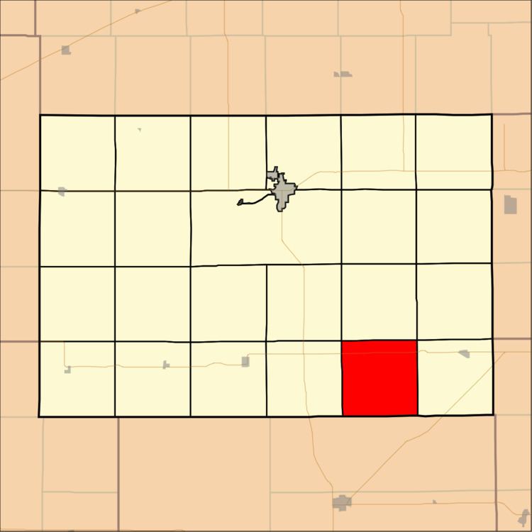
Canton Township is a township in Kingman County, Kansas, USA. As of the 2000 census, its population was 118.
Contents
Map of Canton, KS, USA
Geography
Canton Township covers an area of 36.3 square miles (94.01 square kilometers); of this, 0.01 square miles (0.04 square kilometers) or 0.04 percent is water. The streams of Big Spring Creek, Blue Stem Creek and Duck Creek run through this township.
Unincorporated towns
(This list is based on USGS data and may include former settlements.)
Adjacent townships
Major highways
References
Canton Township, Kingman County, Kansas Wikipedia(Text) CC BY-SA